Day 3 - Conway AR to Lawton OK
| Miles for the Day: | 577 |
| Total Trip Miles: | 1634 |
| Start Point: | Conway, AR |
| Start Weather: | At 6:00 AM CDT, the temperature was 49.9 degrees with 69 percent humidity. The conditions were overcast. |
| End Point: | Lawton, OK |
| End Weather: | At 6:00 PM CDT, the temperature was 78.4 degrees with 49 percent humidity. The conditions were partially cloudy with a wind speed of 25.2 and wind gusts of 35.4. |
| Sun Rise: | 7:00 AM CDT |
| Sun Set: | 7:52 PM CDT |
Table of Contents
 Google Map Track Log
Pick a trip from the first drop down list below.
 YouTube Video
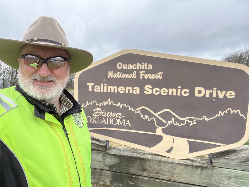
 Talimena Scenic Drive
View a list of places like this or a map.fs.usda.gov
This road offers breathtaking panoramas of the east-west ranges of the Ouachita Mountains. This curving drive winds 54 miles west along the spine of Rich Mountain and Winding Stair Mountain. Between Mena, AR, and Talihina, OK, the drive offers scenic vistas, historical sites, camping, picnicking, hiking, Queen Wilhelmina State Park, Visitor Information Stations, and Robert S. Kerr Memorial Arboretum and Nature Center and Botanical Area.

Mar 29, 2022 Tue 11:26:51 AM CDT
Altitude: 2597 ft Camera: iPhone 13 Pro MaxDisplay on Google Map
Bobby
Bobby


Mar 29, 2022 Tue 11:56:54 AM CDT
Altitude: 2621 ft Camera: iPhone 13 Pro MaxDisplay on Google Map
Bobby
Bobby
 Elevation Changes During the Day
The day started at 373 feet and ended at 1,095 feet. The highest altitude was 2,626 feet and the lowest altitude was 302 feet.
| Day 2 - Chattanooga TN to Conway AR |
Topics
General
Travel
TagsConfederate Statues (32),Motorcycle (101),National Parks (9),Odd (1),Route 66 (33),Unemployment (6),Zombies (1)