
Day 6, Higher Elevations and Cool Temperatures
| Miles: | 197 |
| Start Point: | Fort Stockton, TX |
| Start Weather: | At 6:00 AM CDT, the temperature was 38.9 degrees with 60 percent humidity. The conditions were clear. |
| End Point: | Van Horn, TX |
| Sun Rise: | 7:57 AM CDT |
| Sun Set: | 8:09 PM CDT |
Table of Contents


I decided to skip Big Bend National Park. Mid March is their busiest time of the year because of Spring Break and with COVID easing up everyone is traveling. They are having 25% larger crowds. People and traffic jams are not what I want. I will return to this park some day with Laurie.
Big Bend NP is not on the way to anyplace else. It is like the north rim of the Grand Canyon. You drive south for a while, look around and then drive north for a while. My original plan was to still be in Texas tonight around Fort Davis. I decided to make it a very easy day and drive straight there.
But motel rates there were too high so this morning I reserved a room in Van Horn, TX. That is 120 miles from Fort Stockton where I stayed last night. I goofed off and spend most of the day getting to Van Horn in a round about way.
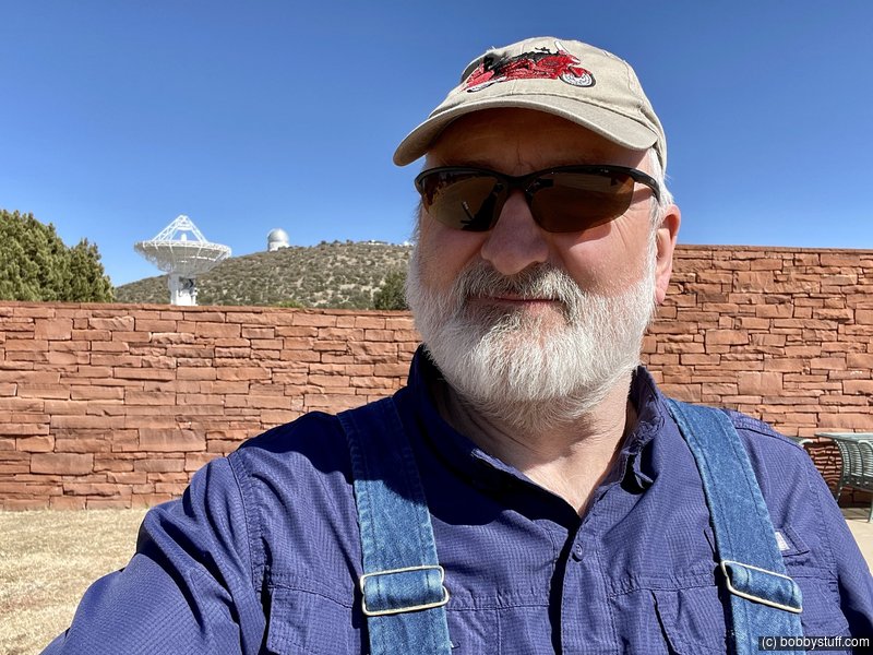
It was another blue sky day with temps in the low 60's and elevations over 5000 feet. I visited Fort Davis National Historic Site and drove by McDonald Observatory but the visitors center was closed. I still got some decent video.
Tomorrow morning I am riding highway 54 north to the Guadalupe Mountains National Park. My cousin says this is a beautiful sunrise ride. My plan is to be up and out before sunrise.
 Video
Video
Bobby


 Fort Davis National Historic Site, Jeff Davis County TX
View a list of places like this or a map.Wikipedia wikipedia.org
Established in October 1854 along the Limpia Creek at Painted Comanche Camp by Bvt. Maj. Gen. Persifor Frazer Smith, Fort Davis was named after Secretary of War Jefferson Davis. Hoping to protect the garrison from winter northers, Smith tucked the fort into a canyon flanked on three sides by sheer rock walls. Commanding the post was 8th Infantry Regiment commander Lt. Col. Washington Seawell.
The fort was evacuated in April 1861 under orders from General David E. Twiggs at the start of the Civil War. During John R. Baylor's invasion of New Mexico, only 20 Confederate States Army troops manned the fort. On the night of 4 August 1861, Mescalero Apaches raided a nearby cattle pen, and during the pursuit on 11 August, Lt. Reuben E. Mays and all but one of his 13-man patrol were killed in an ambush. This defeat convinced Baylor to staff the fort with three officers and 70 enlisted men. The Confederates evacuated the fort and all other posts west of Fort Clark in August 1862.
Fort Davis is important in understanding the presence of African Americans in the West and in the frontier military because the 24th and 25th U.S. Infantry regiments and the 9th and 10th U.S. Cavalry regiments, all-black regiments (known as the buffalo soldiers), which were established after the Civil War, were stationed at the post. Lt. Col. Wesley Merritt led Troops C, F, H, and I of the 9th Cavalry in reoccupying the fort on 29 June 1867. They rebuilt the fort, using limestone and adobe, outside the canyon walls.


Couple of Random Photos Near the End of the Day


 Elevation Changes During the Day
The day started at 3,057 feet and ended at 4,028 feet. The highest altitude was 6,242 feet and the lowest altitude was 2,935 feet.