Day 7, Amarillo TX to Moriarty NM
| Miles: | 263 |
| Start Point: | Amarillo, TX |
| Start Weather: | At 6:00 AM CDT the temperature was 29.3 ° with 72% humidity. The conditions were clear with a wind speed of 0.9 MPH and wind gusts of 0.9 MPH. |
| End Point: | Moriarty, NM |
| End Weather: | At 6:00 PM MDT the temperature was 30.4 ° with 94% humidity. The conditions were light snow with a wind speed of 8 MPH and wind gusts of 17.6 MPH. |
| Sun Rise: | 7:36 AM CDT |
| Sun Set: | 7:25 PM MDT |
Table of Contents

Previous 40 to Phoenix Rides
This is my 3rd 40 to Phoenix ride. I have visited just about all the Route 66 sites I want to see and have written about them in previous years. To read about this day and see photos from previous years, please see
Day 7, 2017
and
Day 7, 2018.
What Happened to the Wind?
Yesterday was rough. We had severe side winds and by the time we got to Amarillo we were both exhausted. I think we were both dreading today. I decided we would get a late start today because our planned miles were pretty low and I wanted to let the temperature rise a little before we had to deal with the wind. I still had to wipe frost off the seats.
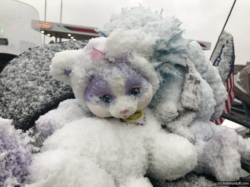
But surprise! No cross winds today. It was a beautiful day. The temperatures were in the 40's but that is no big deal with our heated gear. At Clines Corners, NM with an elevation of 7,000 feet the temperature dropped to 37 and there was some light snow in the air.
At the motel in Moriarty we were told that the NM State Police escort had been cancelled because of the weather and the local GWRRA chapter would shuttle us in vehicles from the motel to our evening meal. The reason? They expect 2-5 inches of snow tonight and our Gold Wing was covered in snow when we returned from our meal. We may have another late start in the morning.
The photos below are from our evening meal. After those, scroll down for more photos and descriptions.
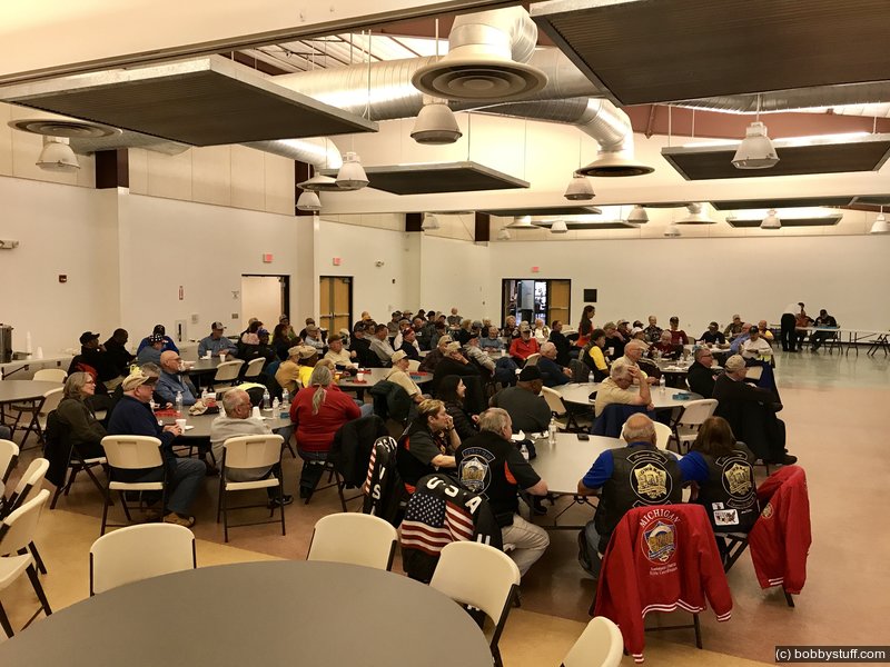
Moriarty, NM meal
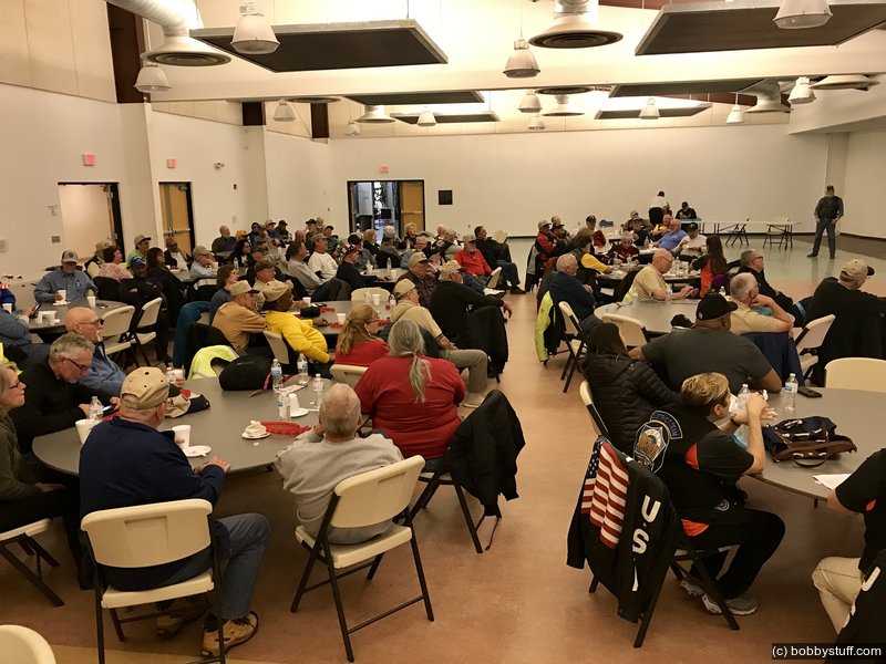
Moriarty, NM meal
Moriarty, NM
 Video
Video
Laurie
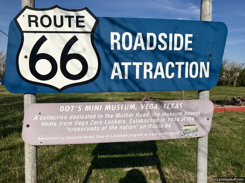
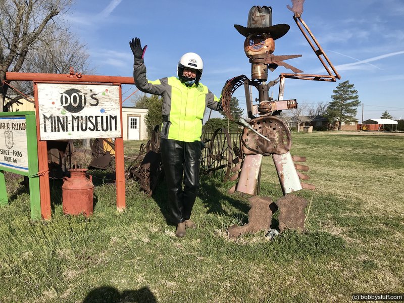
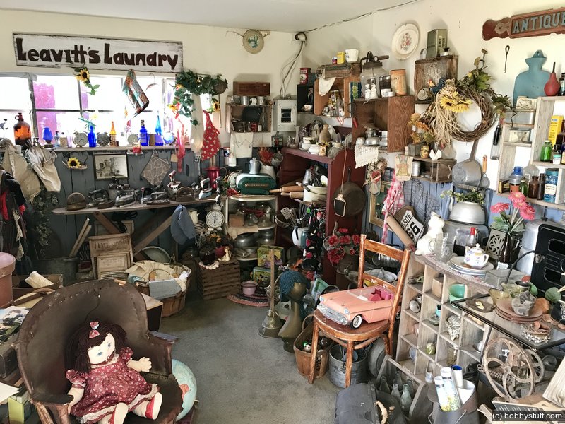
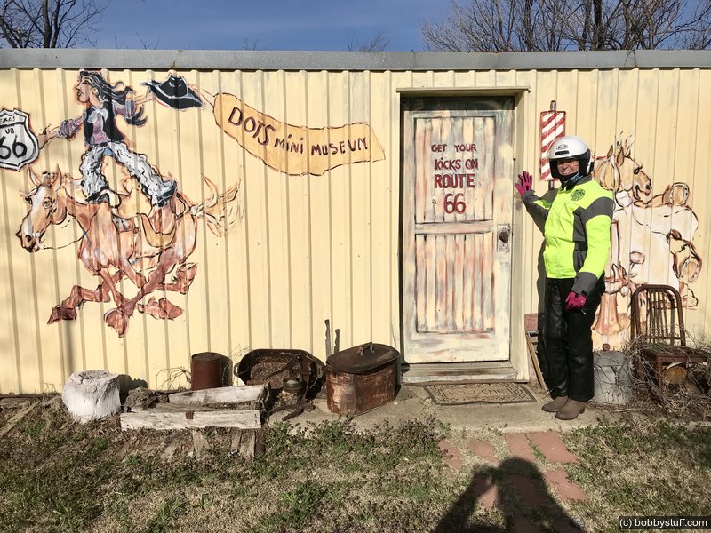
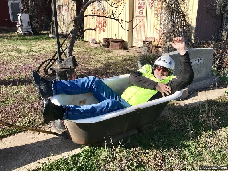
 Dot's Mini Museum, Vega TX
View a list of places like this or a map.route66university.com
Dot's Mini Museum is an informal collection of Mother Road odds and ends accumulated by Dot Leavitt over the course of many years of living and working alongside Route 66.
As a child, Dot's family operated Vega Zero Lockers. Among other things, the business offered weary travelers "Jugs Iced Free."
In 2006, Dot passed away, but members of her family have honored her memory by continuing Dot's "museum."
Dots Mini Museum Vega, TX
Dots Mini Museum Vega, TX
Laurie
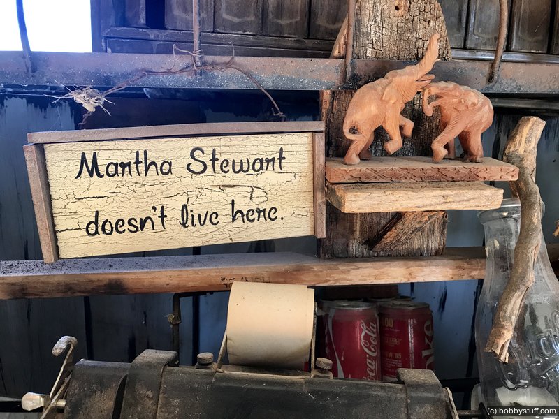
Dots Mini Museum Vega, TX
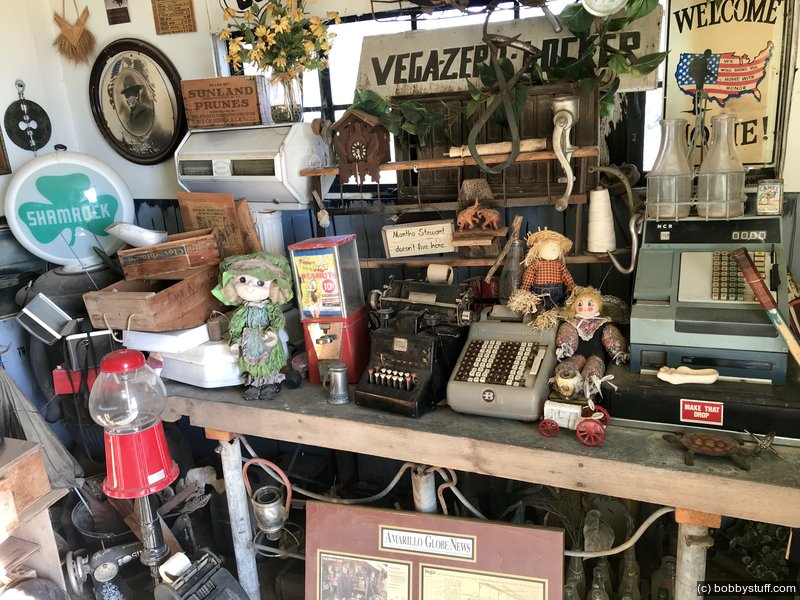
Dots Mini Museum Vega, TX
Dots Mini Museum Vega, TX
Dots Mini Museum Vega, TX
Laurie
Dots Mini Museum Vega, TX
Bobby
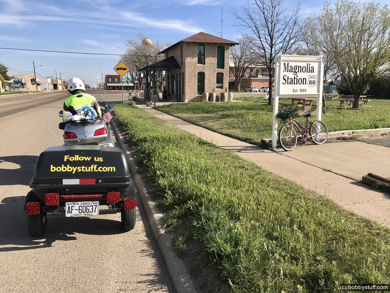
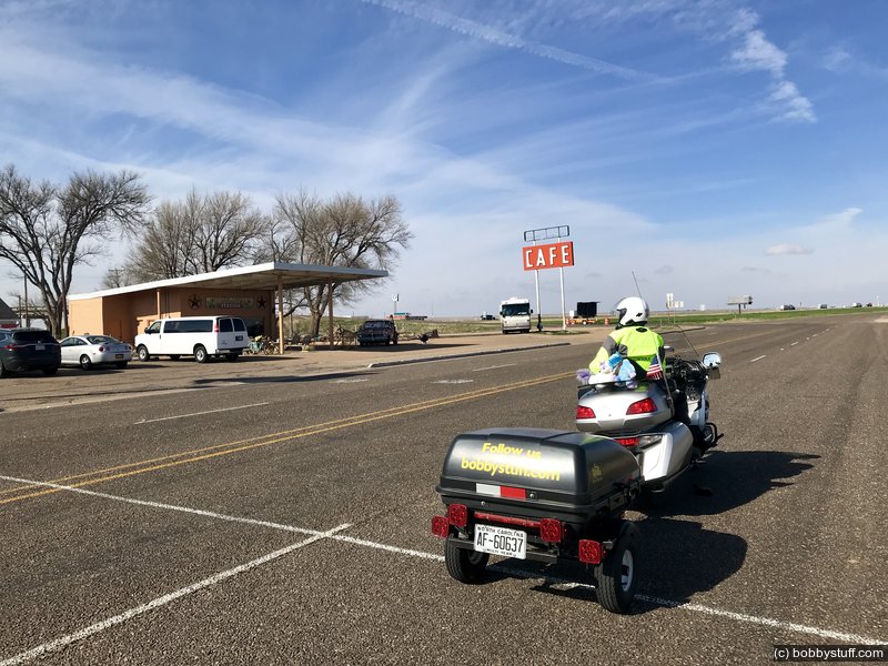
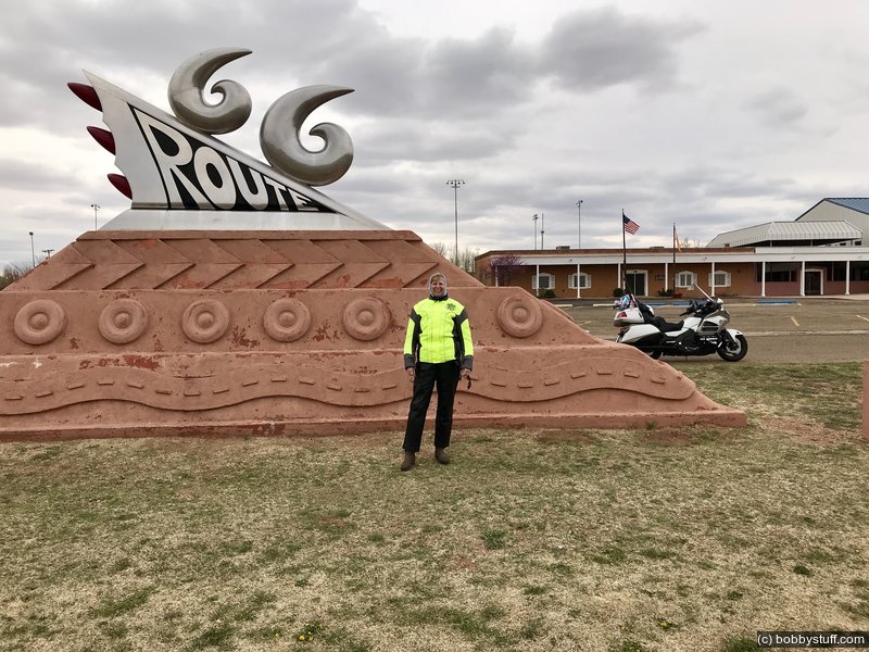
Route 66 Mid Point, Tucumcari NM and The Blue Hole
The first photo below is a restored gas station in Vega, TX, followed by the Route 66 mid point in Adrian, TX, Tucumcari, NM and finally the Blue Hole in Santa Rosa, NM.
Vega, TX
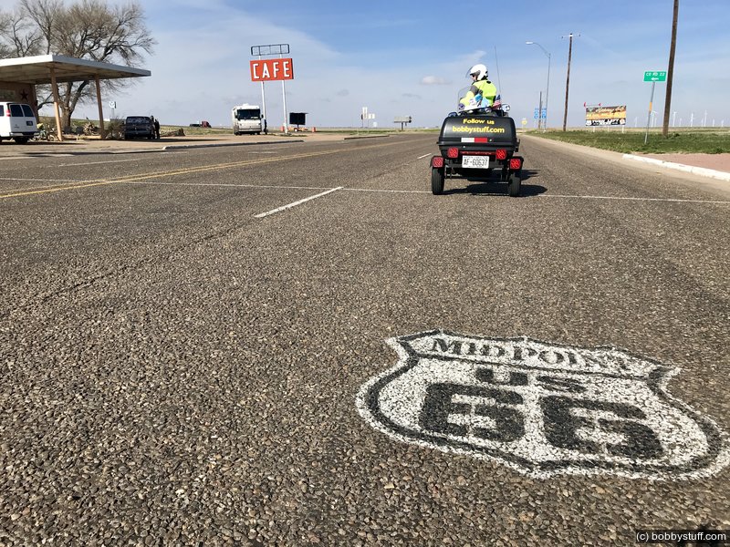
Midpoint Route 66 Adrian, TX
Laurie
Midpoint Route 66 Adrian, TX
Laurie
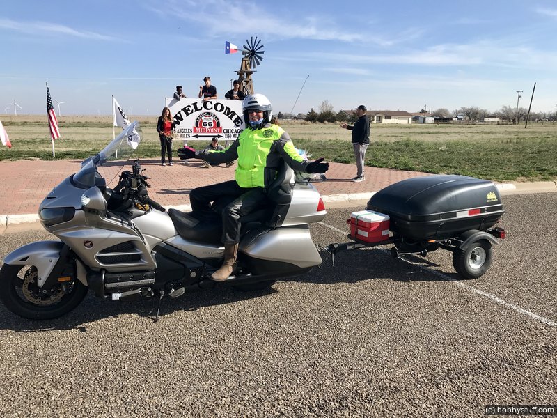
Midpoint Route 66 Adrian, TX
Laurie
Laurie
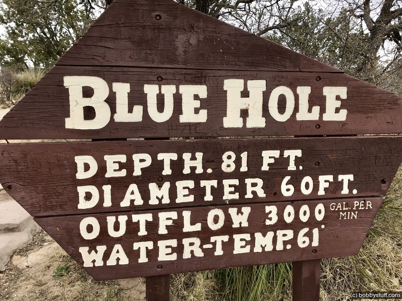
Santa Rosa, NM
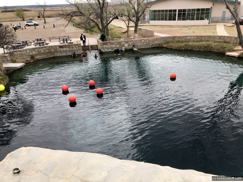
Santa Rosa, NM
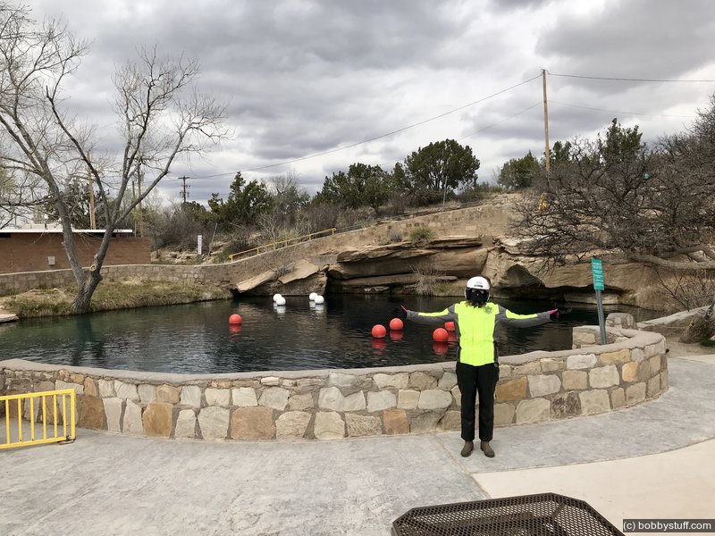
Santa Rosa, NM
Laurie
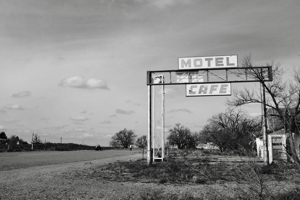
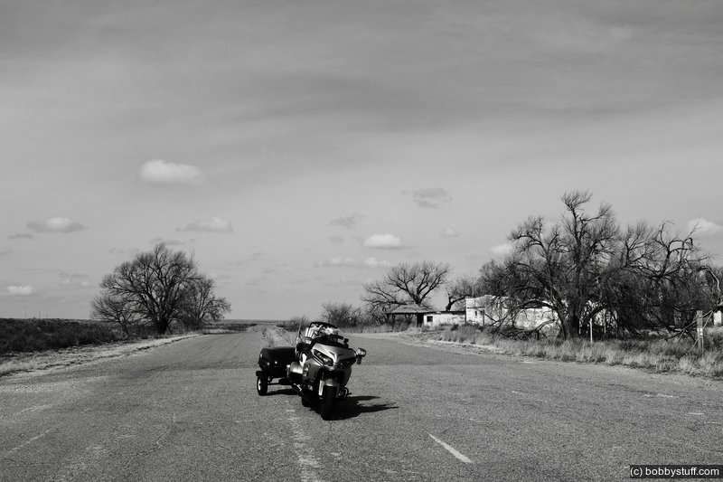
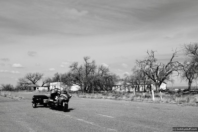
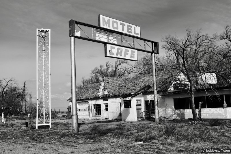
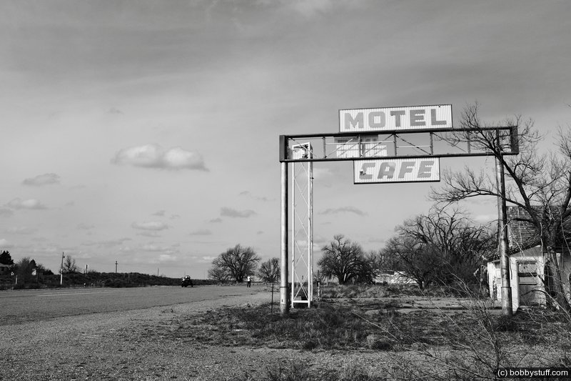
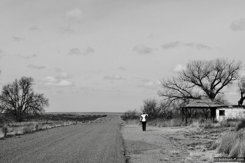
Glenrio Historic District TX
View a list of places like this or a map.nps.gov
During the 1940s and 1950s, Glenrio sat very much alone in the open scrub desert of the high plains straddling the Texas-New Mexico border. Amarillo was 73 miles to the east and Tucumcari 41 miles west. Travelers driving Route 66 across the desert could see a world of stars at night, with Glenrio providing some of the only light pollution around with its diners, bars, western-themed motels, a dance hall, and gas stations. Glenrio was a flash of neon in the desert, an overnight Mecca, and a spot of evening cool in the days before cars had air conditioning.
Glenrio's boom times ended in 1975 when Interstate 40 bypassed the town. It was listed in the National Register of Historic Places in 2007. Today, the Glenrio Historic District includes the old Route 66 roadbed and 17 abandoned buildings.
It's well worth the detour to get off Interstate 40 and cruise Route 66 through Glenrio. Crossing the State border in one of the country's best preserved mid-century ghost towns evokes some of the adventure motorists from decades ago felt when the traveled long stretches of two-lane blacktop through the American West.
I really like this place. I can park in the middle of the street and no one cares because there is no traffic. Just west of Glenrio, Route 66 turns to gravel going into New Mexico. I got a little drone footage so watch the video near the beginning of this blog if that interests you.
Glenrio, TX
Laurie
 Elevation Changes During the Day
The day started at 3,667 feet and ended at 6,229 feet. The highest altitude was 7,043 feet and the lowest altitude was 3,667 feet.