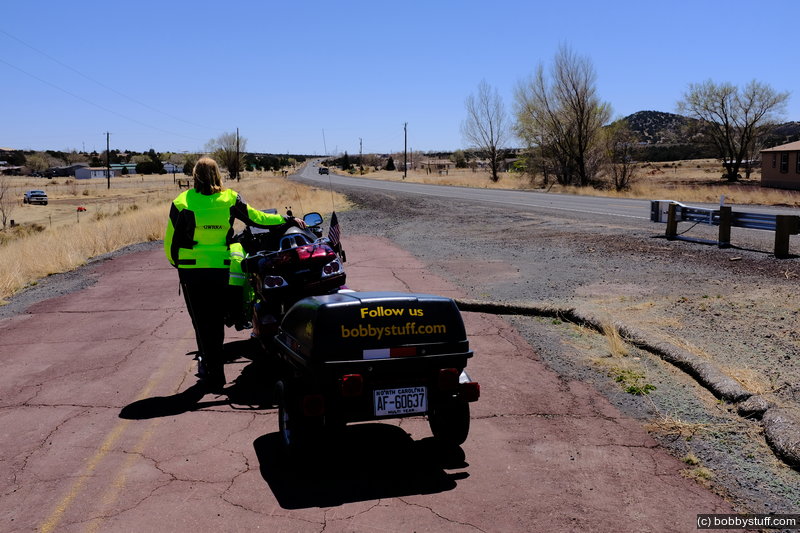
Day 12, Jerome, AZ to Monument Valley
| Miles: | 194 |
| Start Point: | Deer Valley, AZ |
| Sun Rise: | 5:52 AM MST |
| Start Weather: | At 6:00 AM MST the temperature was 51.9 ° with 43% humidity. The conditions were clear with a wind speed of 0.6 MPH and wind gusts of 2.7 MPH. |
| End Point: | Clarkdale, AZ |
| Sun Set: | 7:05 PM MST |
| End Weather: | At 6:00 PM MST the temperature was 57.2 ° with 38% humidity. The conditions were partly cloudy with a wind speed of 2.1 MPH and wind gusts of 11.3 MPH. |
Table of Contents

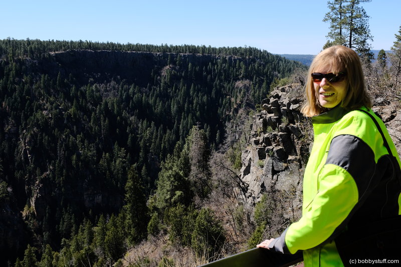
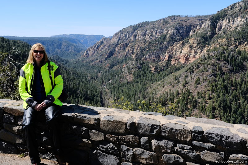
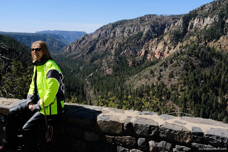
Sedona AZ
We left Jerome AZ and traveled to Sedona and the canyon north of town. We were here with my brother and his wife in 2016. This is a beautiful area.
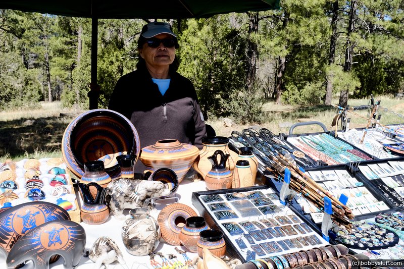
We stopped at an overlook for the canyon and Laurie bought a pot from a local vendor.
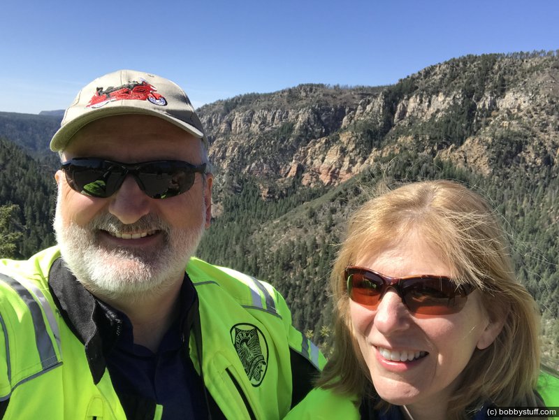
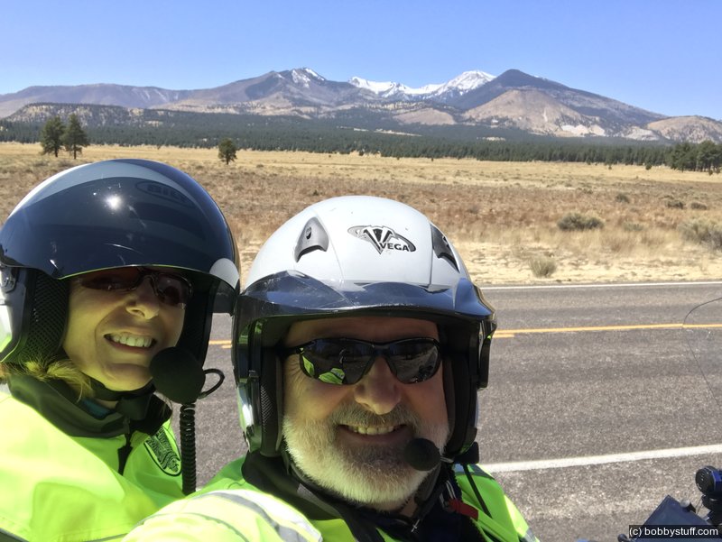
Bobby, Laurie
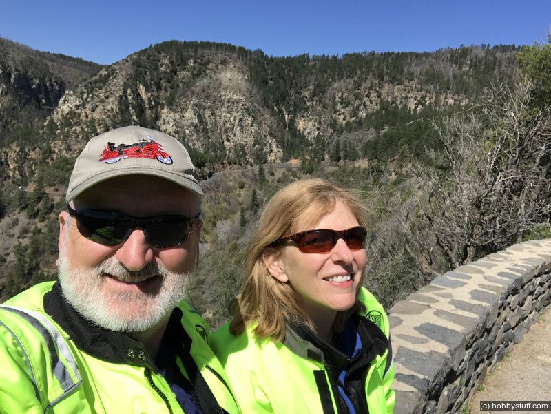
Bobby, Laurie
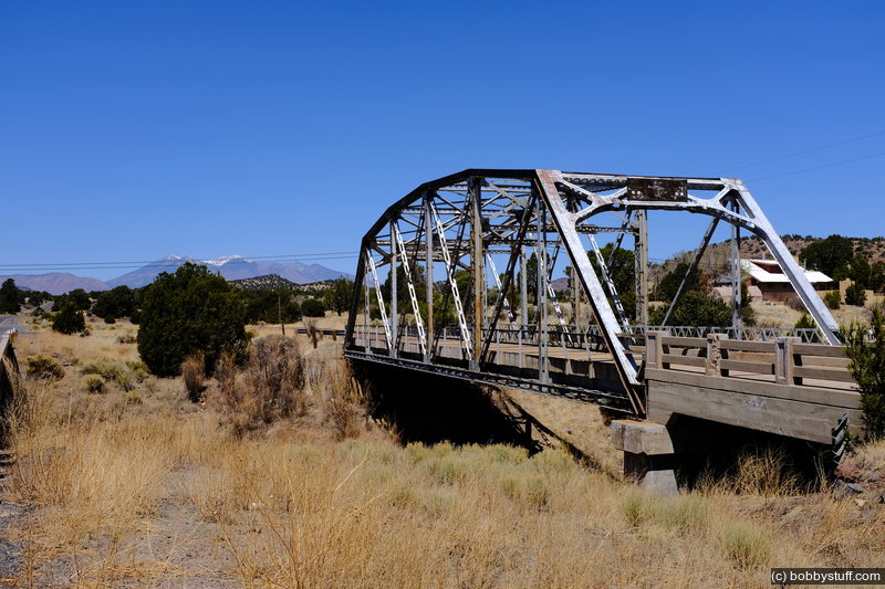
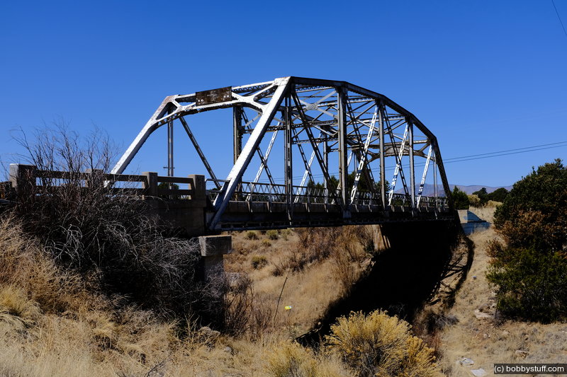
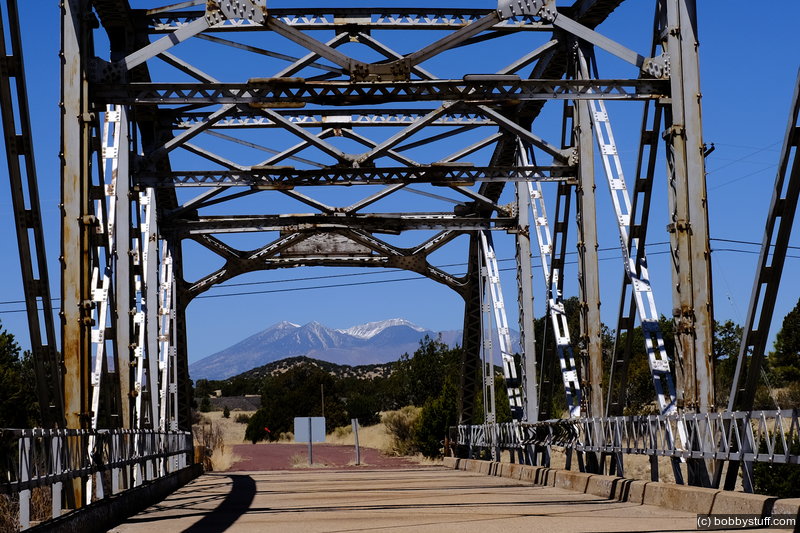
 Walnut Canyon Bridge, Winona AZ
View a list of places like this or a map.nps.gov
In 1922, the United States Bureau of Public Roads undertook a 23-mile road-building project along the Winslow Highway that stretched between Flagstaff and Angel through the Coconino National Forest in Arizona. The largest structure built as part of the project was the Walnut Canyon Bridge, which spans the canyon crossing Walnut Creek one mile northwest of Winona. Soon after its completion in 1924, the road and the bridge became part of Route 66.
The bridge employs a straightforward design. It has a single span of 101 feet and a 19-foot-wide roadbed. The superstructure is of riveted steel and uses a five-panel Parker through truss. Truss bridges have a combination of members, usually arranged in a triangular configuration, to form a rigid framework. A Parker truss includes an additional element: an upper polygonal chord. The substructure has concrete abutments and wing walls. The floor is a concrete deck over steel stringers. The bridge has steel lattice guardrails with concrete curbs. The design and materials were efficient.
While the Walnut Canyon Bridge represents common construction of its time, it is now a rare surviving example on Route 66. The bridge is closed to traffic, but remains intact on a short stretch of abandoned roadbed. The National Park Service listed the Walnut Canyon Bridge in the National Register of Historic Places in 1988.
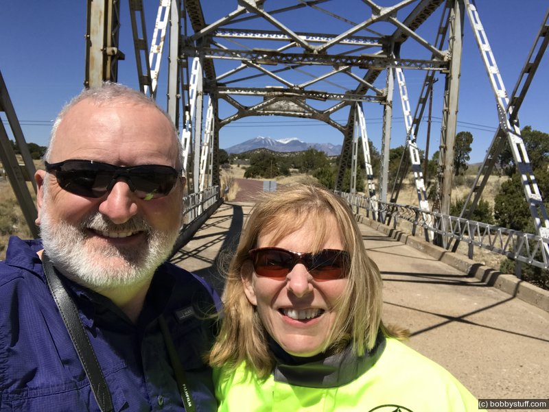
Bobby, Laurie
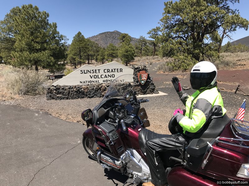
 Sunset Crater Volcano National Monument AZ
View a list of places like this or a map.We took a detour to Sunset Crater National Monument
Laurie
Laurie, Bobby
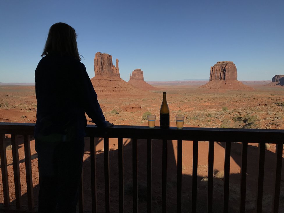
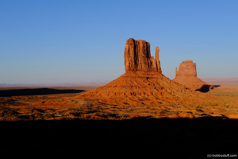
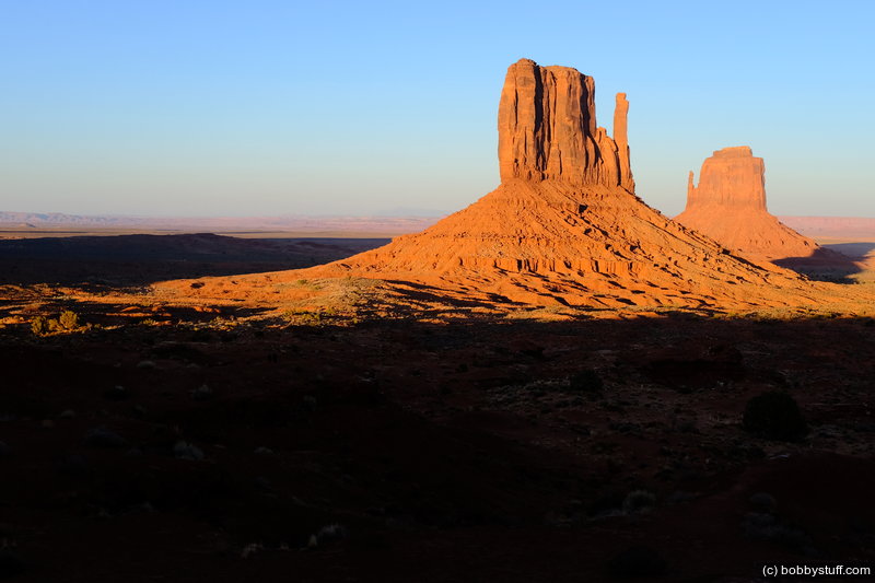
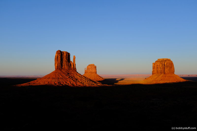
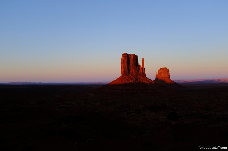
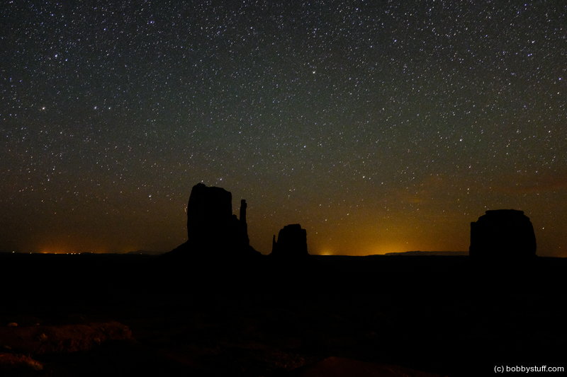
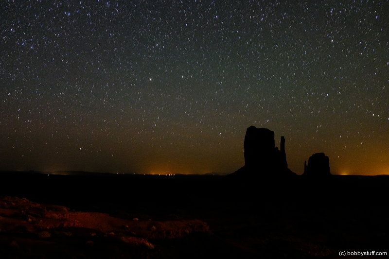
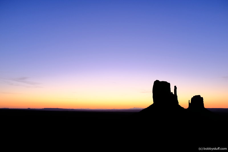
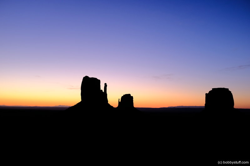
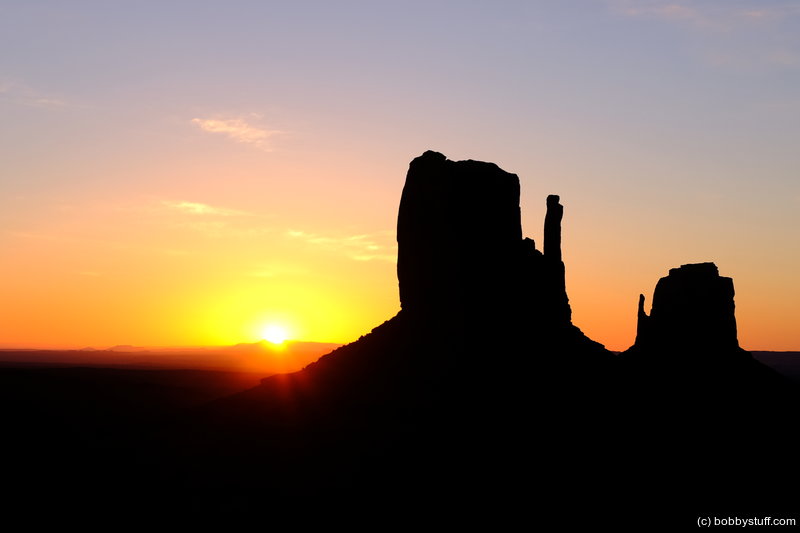
 Monument Valley UT
View a list of places like this or a map.You've seen this photo on Facebook already but here is the story. My favorite mother in law bought me a bottle of my favorite wine for Christmas. I told her I was going to save it, haul it across the US during my 40 to Phoenix ride and drink it with the love of my life, Laurie, in Monument Valley. So after 3000+ miles and several bags of ice, we have arrived. It was wonderful. Thank you Dot.
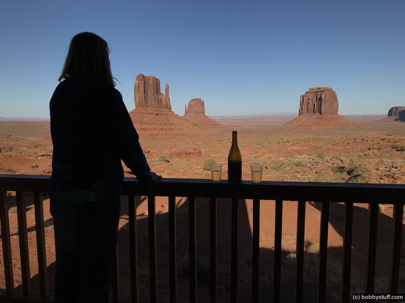
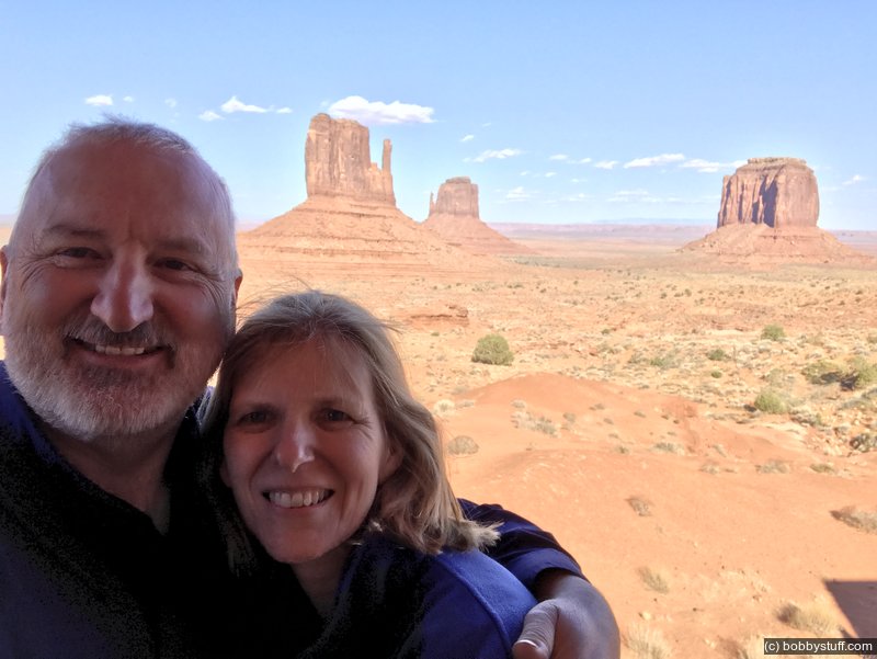
Bobby, Laurie


360 Photo !!!
Click and drag on the photo below to see a 360 view. Pinch to zoom in or out on your mobile device or use your mouse scroll wheel on your desktop. Click the box in the top left of the image to view in full screen.
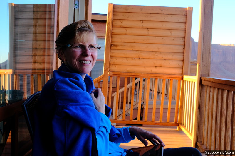
The View hotel Premium Cabins, Oljato-Monument Valley AZ
 Elevation Changes During the Day
The day started at 4,913 feet and ended at 5,528 feet. The highest altitude was 7,004 feet and the lowest altitude was 3,296 feet.