Day 11, Phoenix to Jerome, AZ
| Miles: | 194 |
| Start Point: | Deer Valley, AZ |
| Sun Rise: | 5:52 AM MST |
| Start Weather: | At 6:00 AM MST the temperature was 51.9 ° with 43% humidity. The conditions were clear with a wind speed of 0.6 MPH and wind gusts of 2.7 MPH. |
| End Point: | Clarkdale, AZ |
| Sun Set: | 7:05 PM MST |
| End Weather: | At 6:00 PM MST the temperature was 57.2 ° with 38% humidity. The conditions were partly cloudy with a wind speed of 2.1 MPH and wind gusts of 11.3 MPH. |
Table of Contents

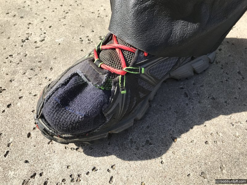
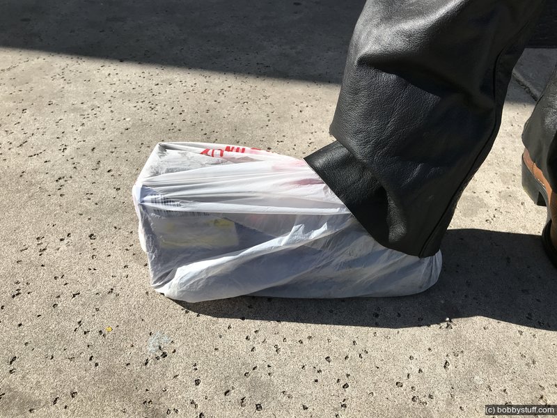
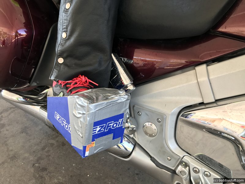
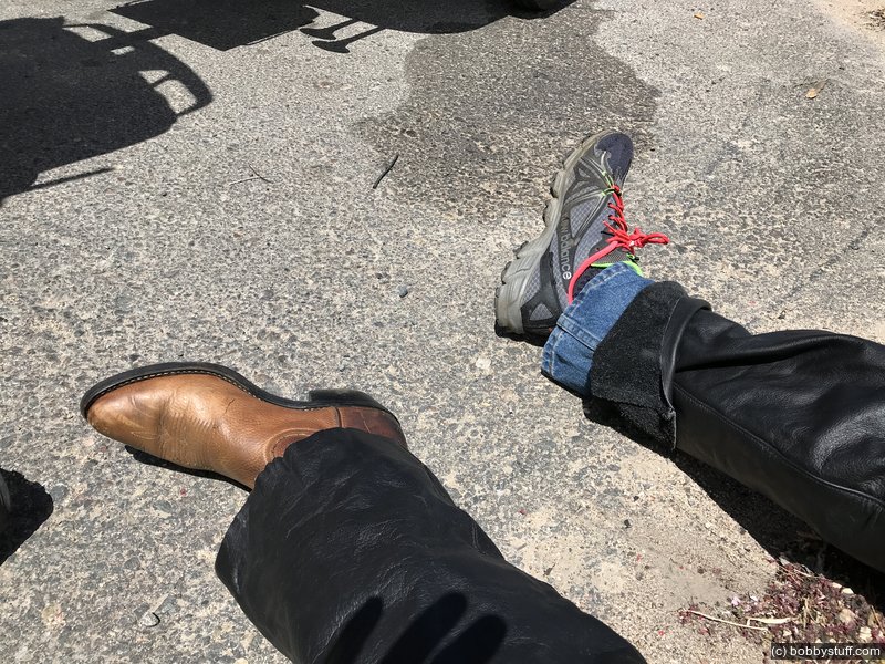
Gold Wing Foot Wear for a Sore Toe
A week before Laurie was to fly out to meet me in Phoenix she went to her doctor for a normal checkup. She had a dark spot on her big toe that looked like she had stumped her toe but it never went away or grew out. Her doctor took one look and said the toe nail had to come off. Laurie protested that she was traveling soon and wanted to wait. But her doctor said it had to come off that day and she would be good to travel in a week.
Turns out he was worried about melanoma. Yep, sounds weid, but melanoma of the toe is a real thing. The lab test turned out ok, but Laurie is missing a toe nail and she heals slowly.
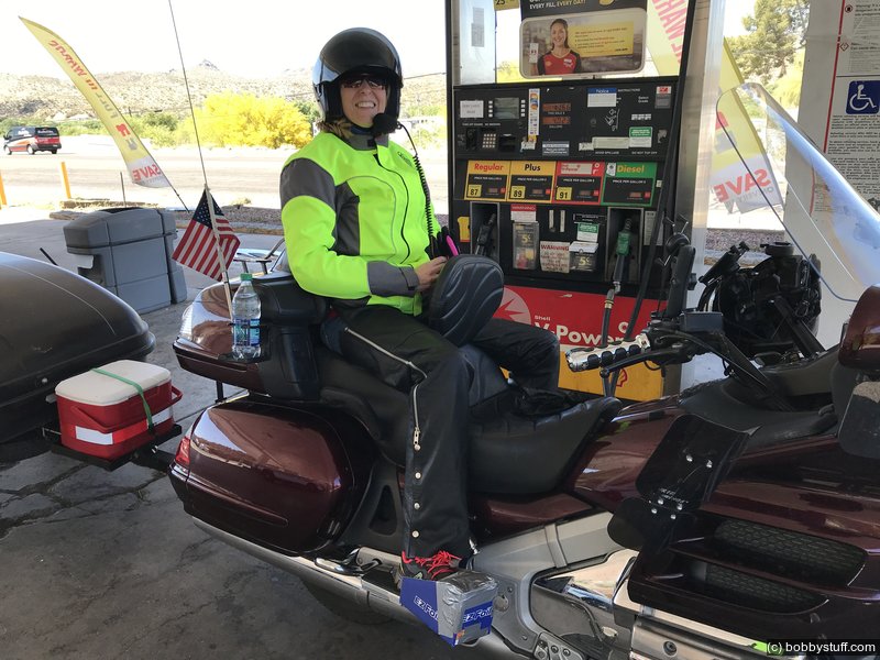
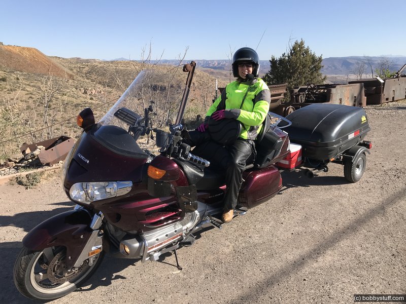
She mutilated a tennis shoe to ease the pressure on her toe and flew out to meet me in Phoenix. The air on her toe during the ride from the Phoenix airport to our motel was more than she could handle so we had to come up with a plan to protect her toe on Ruby the Gold Wing. A trip to WalMart offered several ideas but ultimately we took a cardboard box (with the WalMart manager's approval) and a roll of duct tape and came up with a solution. The box protects her toe from the wind and has been working great. She is a real trooper.
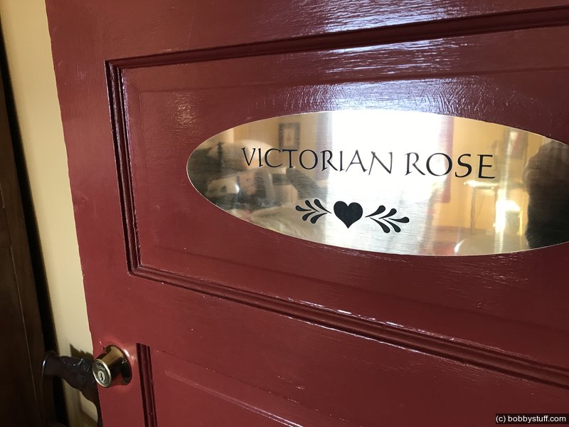
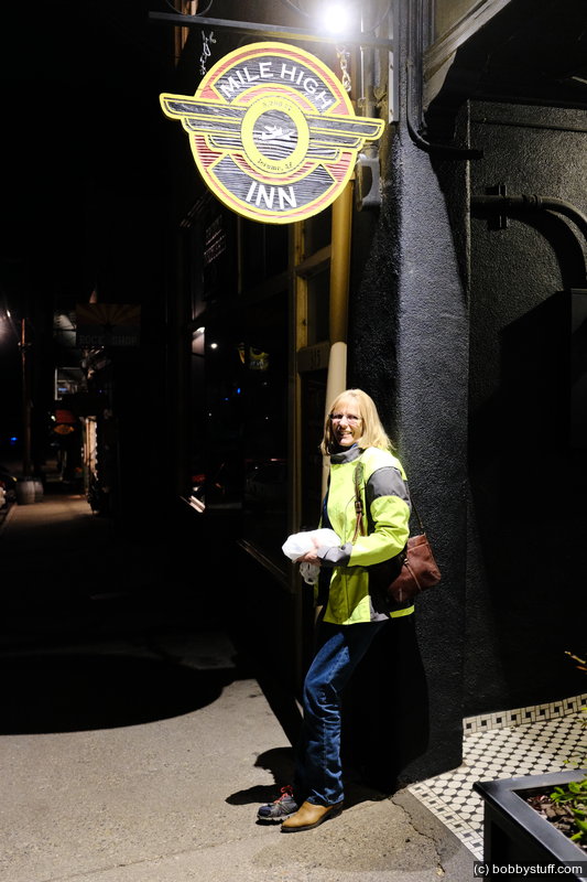
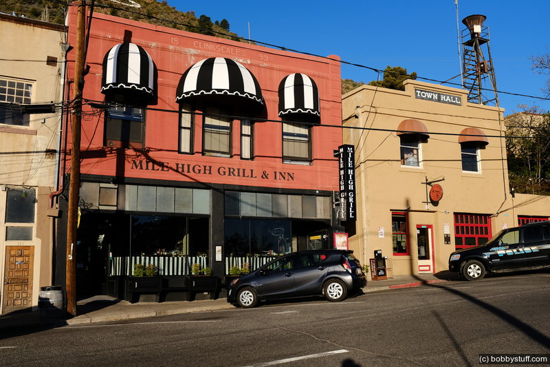
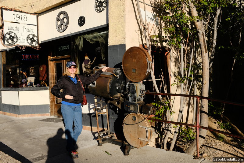
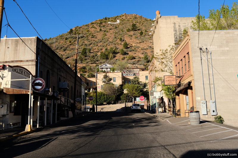
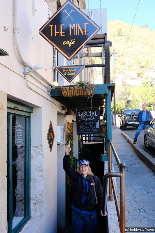
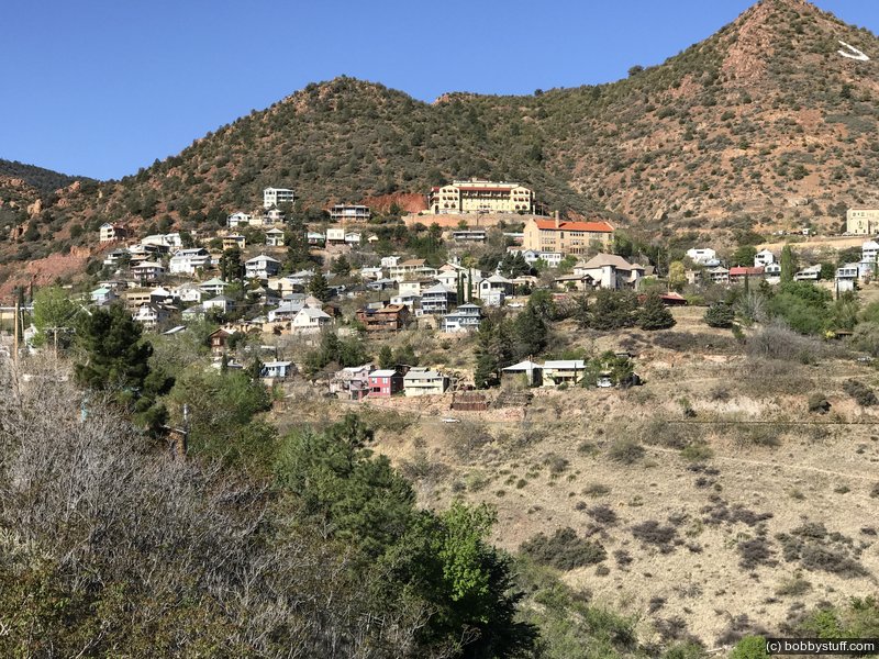
Last year we visited Jerome and decided that "someday" we would return and spend the night. Well, "someday" is this year and we reserved the Victorian Rose room at the Mile High Grill and Inn which was probably an old brothel.
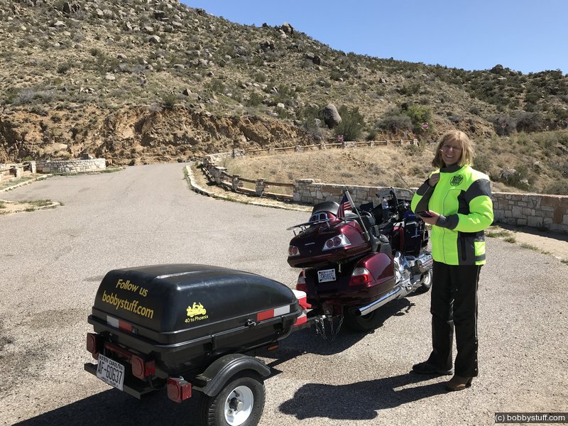
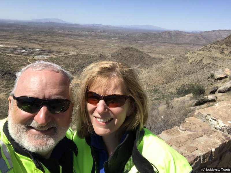
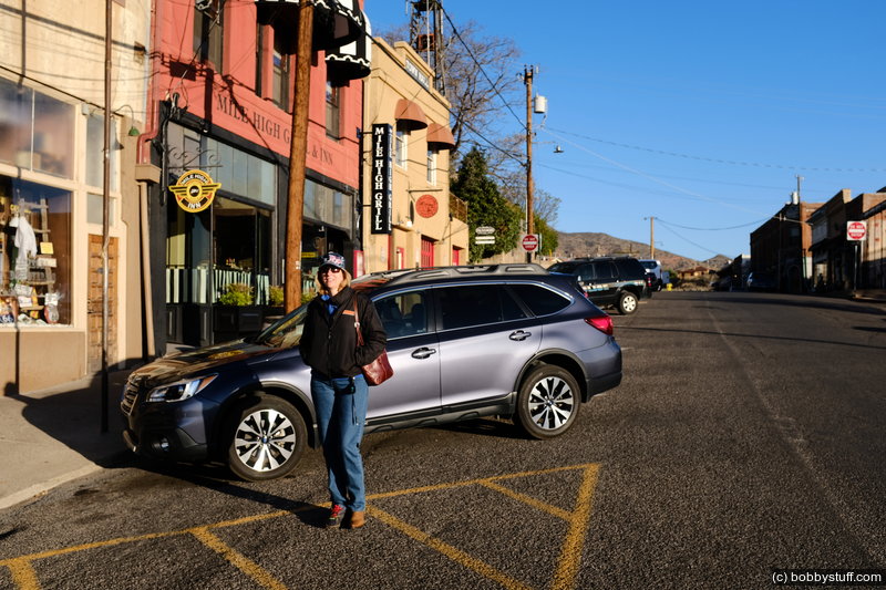
We had a great time. The photos below are during the ride to Jerome, the evening there and the next morning. Be sure to click and drag around in the 360 photo of our room at the Mile High Grill and Inn.
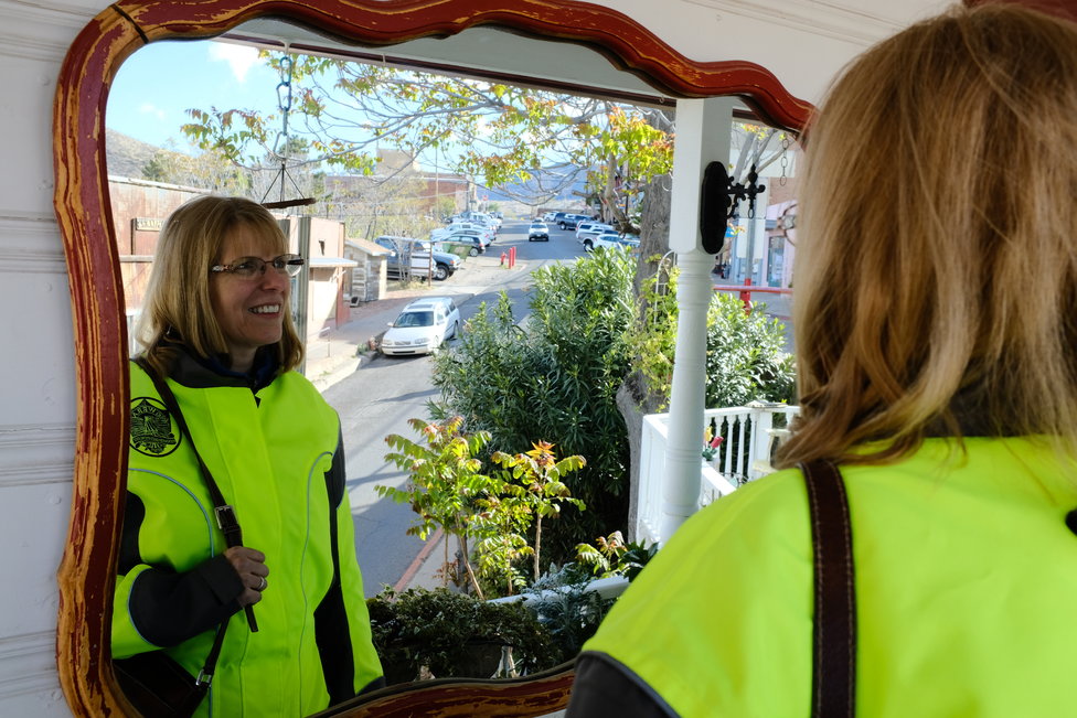
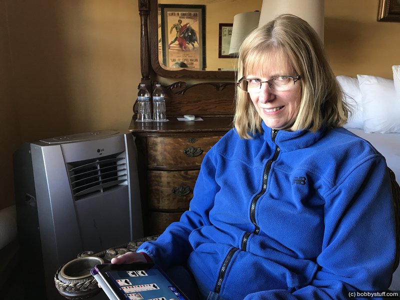
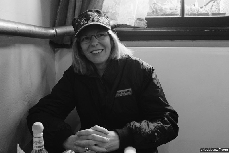
Laurie
360 Photo !!!
Click and drag on the photo below to see a 360 view. Pinch to zoom in or out on your mobile device or use your mouse scroll wheel on your desktop. Click the box in the top left of the image to view in full screen.
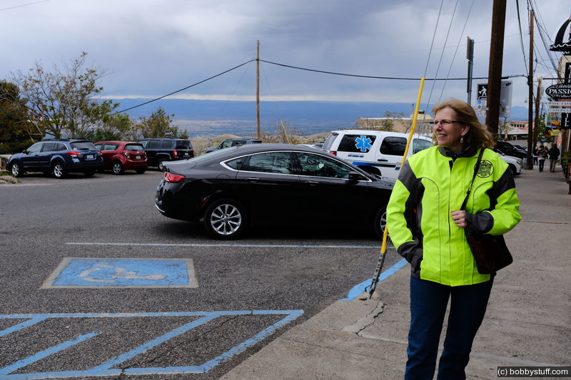
Viewpoint on AZ 89 near Yarnell AZ
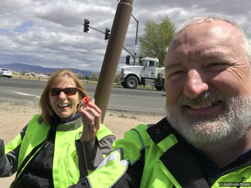
Bobby, Laurie
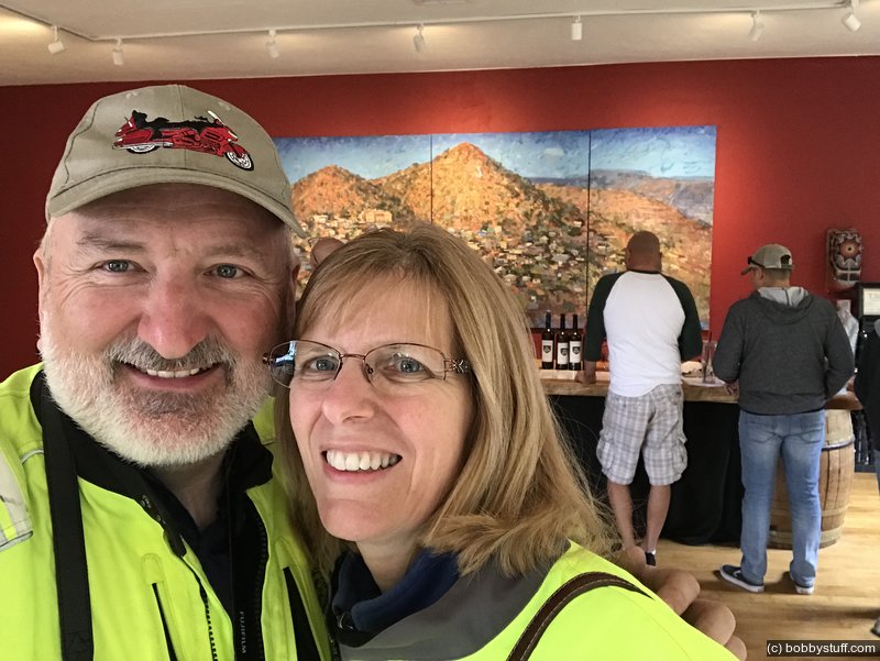
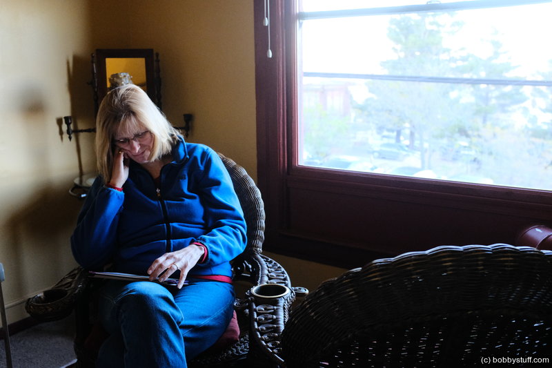
Laurie, Bobby
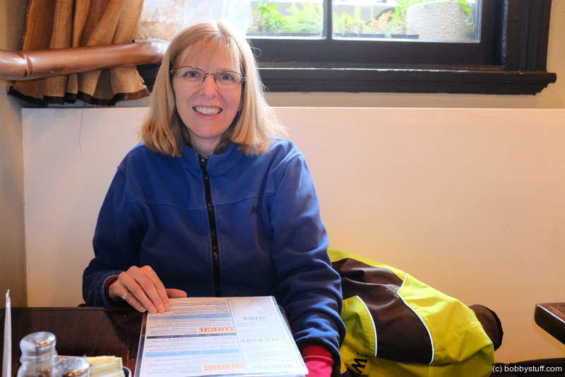
Bobby, Laurie
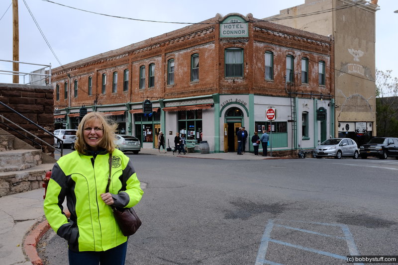
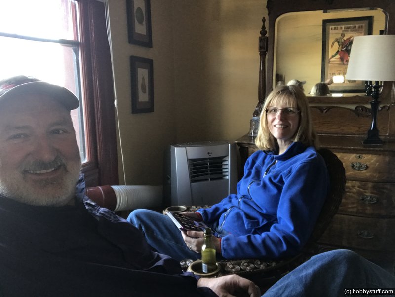
Bobby, Laurie
360 Photo !!!
Click and drag on the photo below to see a 360 view. Pinch to zoom in or out on your mobile device or use your mouse scroll wheel on your desktop. Click the box in the top left of the image to view in full screen.
Clinkscales Hotel, Bar and Grill i nJerome AZ
 Elevation Changes During the Day
The day started at 1,341 feet and ended at 5,110 feet. The highest altitude was 6,742 feet and the lowest altitude was 1,341 feet.