Hurrah Pass and Chicken Corners
Greg and Donna have heard me talk about Chicken Corners so I wanted to take them there and also show them Hurrah Pass. I rented a jeep and we spent a day riding the trail. The road was much rougher than I remember but I never get tired of this place. This is my 4th visit to Hurrah Pass. I was here in 2003 with Dad and the boys, 2007 with just the boys and 2011 with Laurie and the boys.
Hurrah Pass has an elevation of 4780 feet above sea level.
The Bureau of Land Management has a good summary of the entire trail"
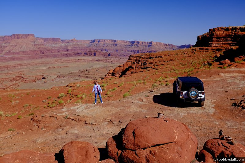
The route travels the Colorado River Canyon just below Moab, follows a spectacular part of Kane Springs Canyon, climbs the Kane Creek anticline to Hurrah Pass, and descends to benches above the Colorado River. The route dead-ends about 400 feet above the river across from Dead Horse Point State Park.
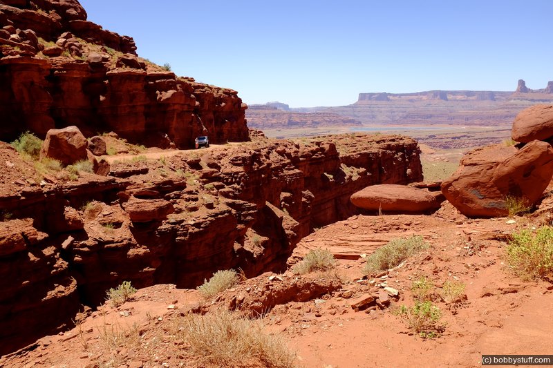
Hurrah Pass is a pretty easy drive and one of my favorite places in the Moab area. The trail from there on to Chicken Corners is more interesting. According to the trail guide "as the route winds down the other side of the anticline [Hurrah Pass], it shows more four-wheel-drive character."
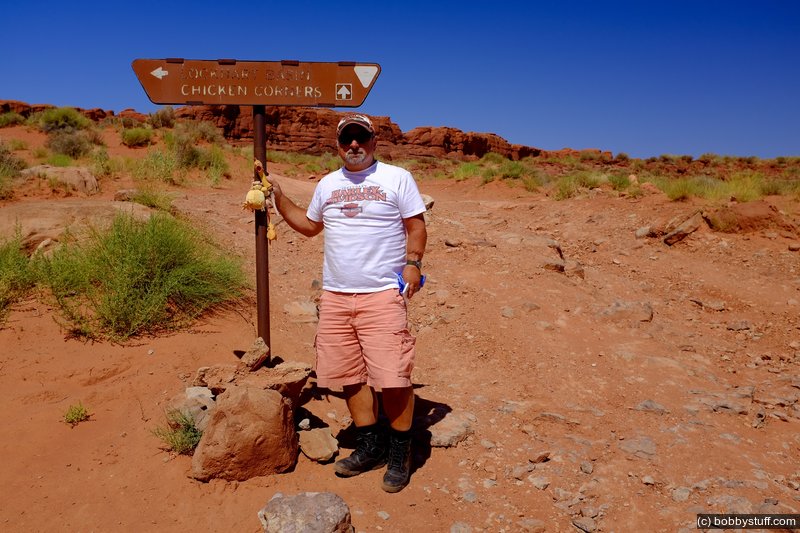
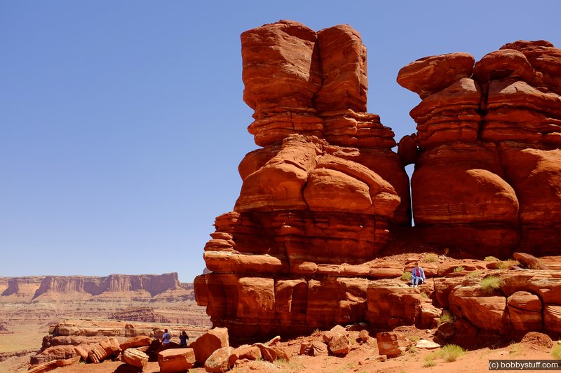
At the end of the trail is Chicken Corners. Again I will let the trail guide describe it:
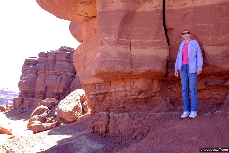
The point where the trail is pinched between rocks on the left and the abyss on the right is "Chicken Corners" where Moab area guides were reputed to allow "chicken" passengers to walk, rather than ride, past the narrow, sloping section of route. This is the end of the spectacular Chicken Corners route.
A couple of us walked but I won't say who.
The trail was slow and rough in the Jeep. We saw several Polaris RZRs on the trail. They seemed to float over the rough rocks and traveled much faster than we could in the Jeep. Our original plan was to rent ATVs the next day but after seeing the RZRs we decided to rent them instead. Those things turned out to be a lot of fun.
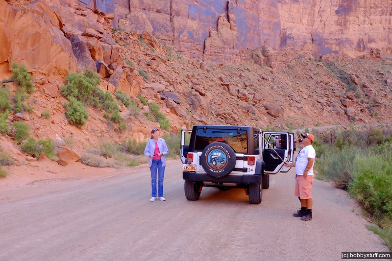
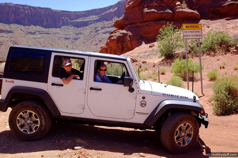
Jeep ride to Chicken Corners in Moab, Utah.
Laurie, Greg
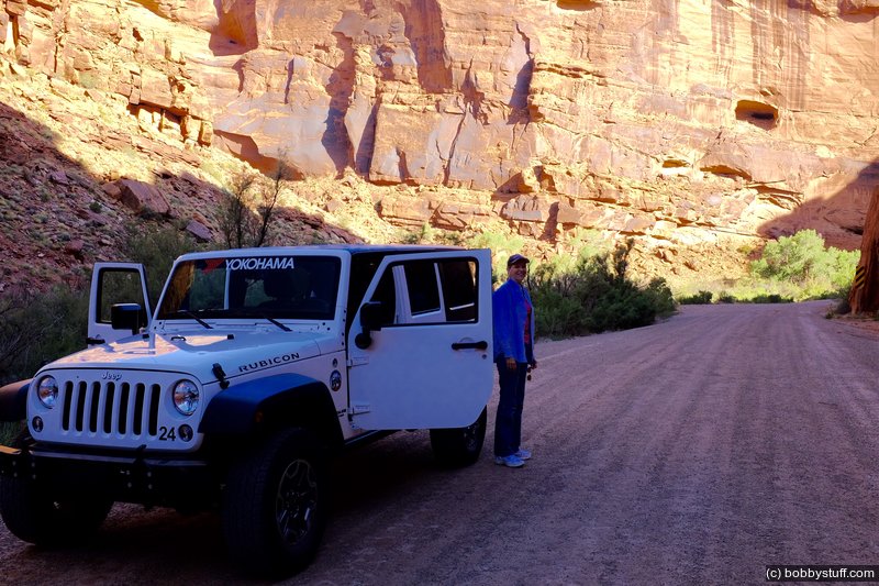
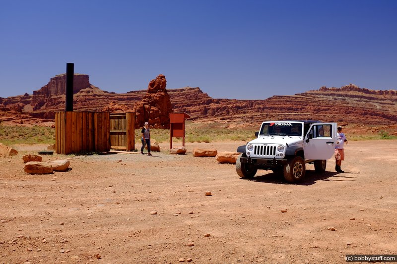
Jeep ride to Chicken Corners in Moab, Utah.
Laurie
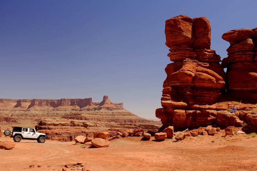
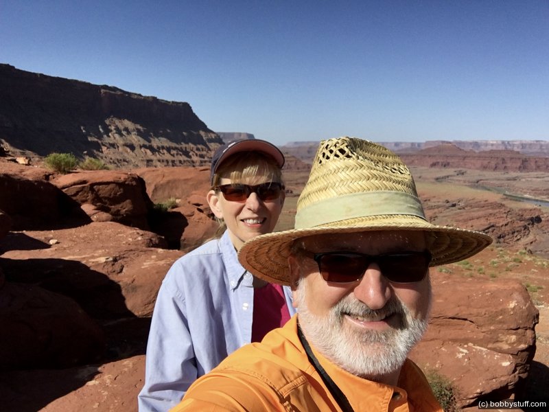
Hurrah Pass on jeep ride to Chicken Corners in Moab, Utah.
Donna, Greg
Hurrah Pass on jeep ride to Chicken Corners in Moab, Utah.
Laurie
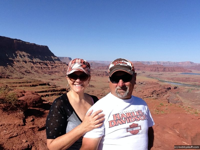
Hurrah Pass on jeep ride to Chicken Corners in Moab, Utah.
Laurie, Bobby
Jeep ride to Chicken Corners in Moab, Utah.
Greg
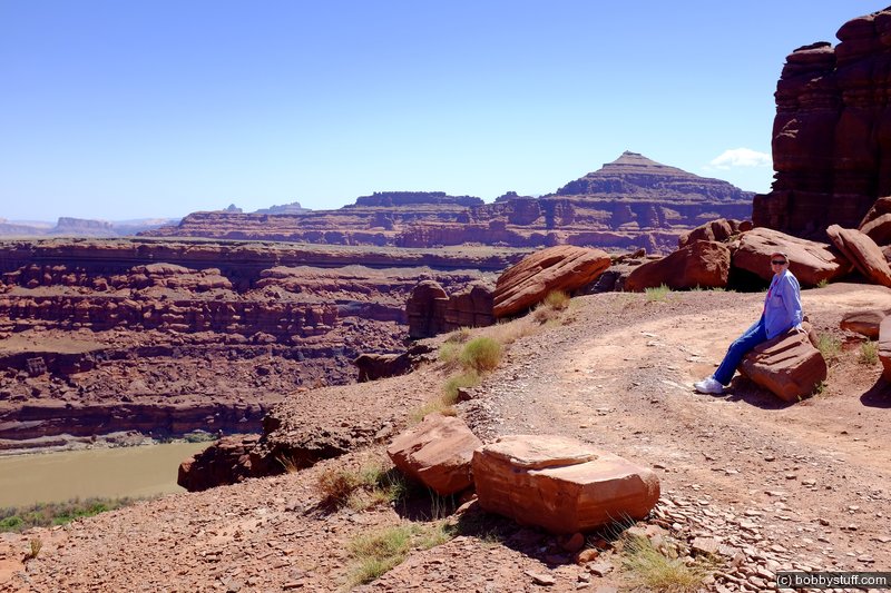
Chicken Corners in Moab, Utah.
Laurie
Chicken Corners in Moab, Utah.
Laurie
Chicken Corners in Moab, Utah.
Laurie
Chicken Corners in Moab, Utah.
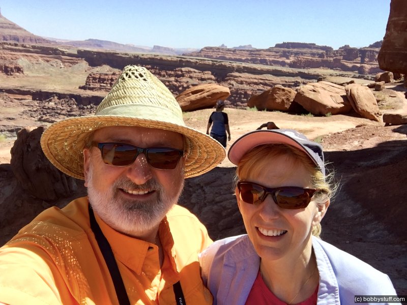
Bobby, Laurie
This is where we almost lost Dad in 2003.
Greg

Jeep ride to Chicken Corners in Moab, Utah.
Donna, Laurie
Jeep ride to Chicken Corners in Moab, Utah.
Donna