Day 19, Black Hills of South Dakota
Table of Contents

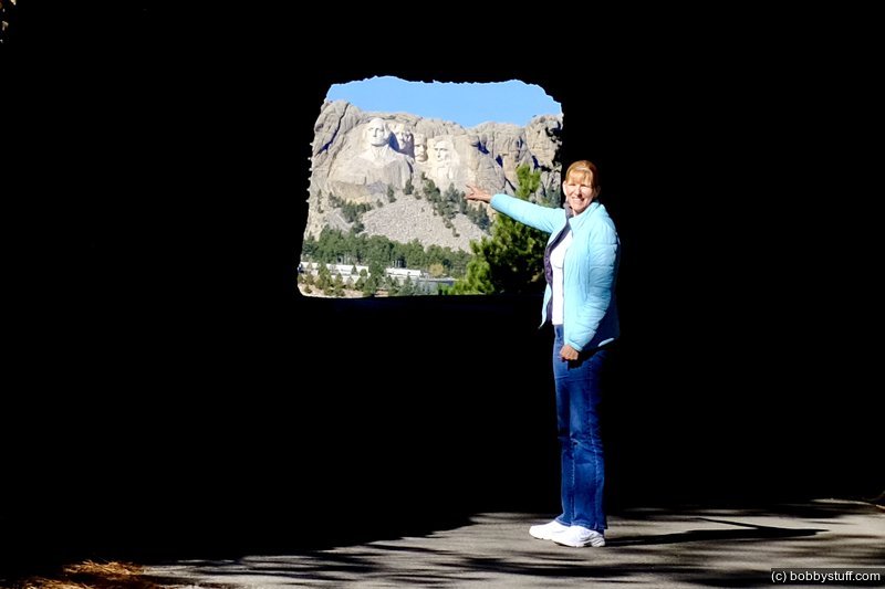
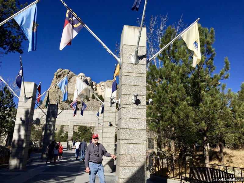
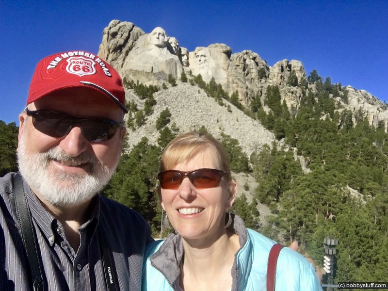
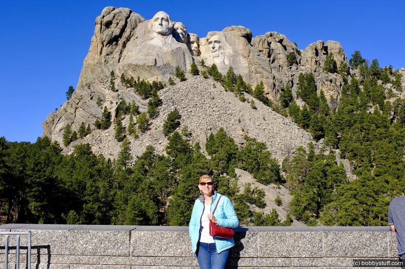
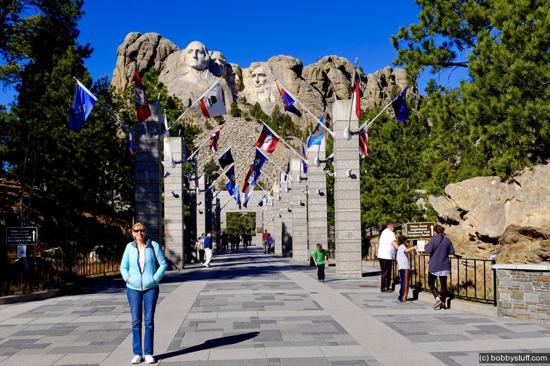
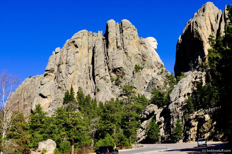
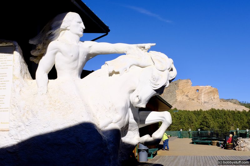
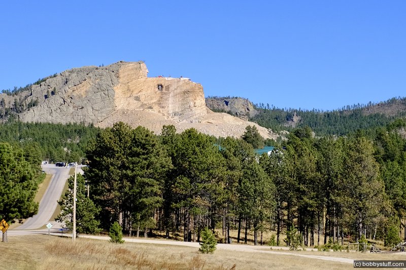
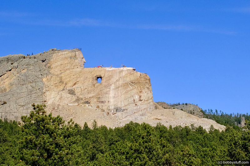
Laurie had never been to Mount Rushmore so we took US 16A through a couple of tunnels with grand views of Mount Rushmore. With no crowds this time of year we had no problems getting in and parking. Mount Rushmore was nice but we really enjoyed the Crazy Horse Memorial and spent several hours there. They have a very extensive museum.
After a while the artifacts began to look the same but I was mesmerized by the photographs and the artwork. The Battle of the Little Bighorn (Custer's Last Stand) was fought on June 25, 1876. Photography was a well established technology at that time. We plan to return when we retire and spend about a week in this area. We want to take the bus ride to get closer to the monument.
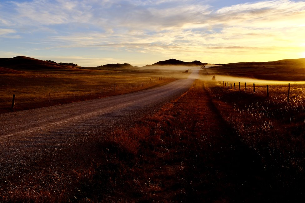
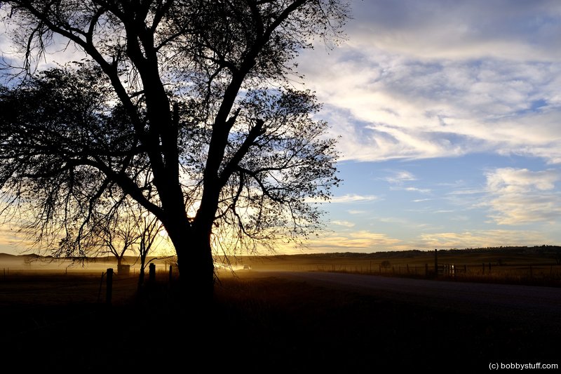
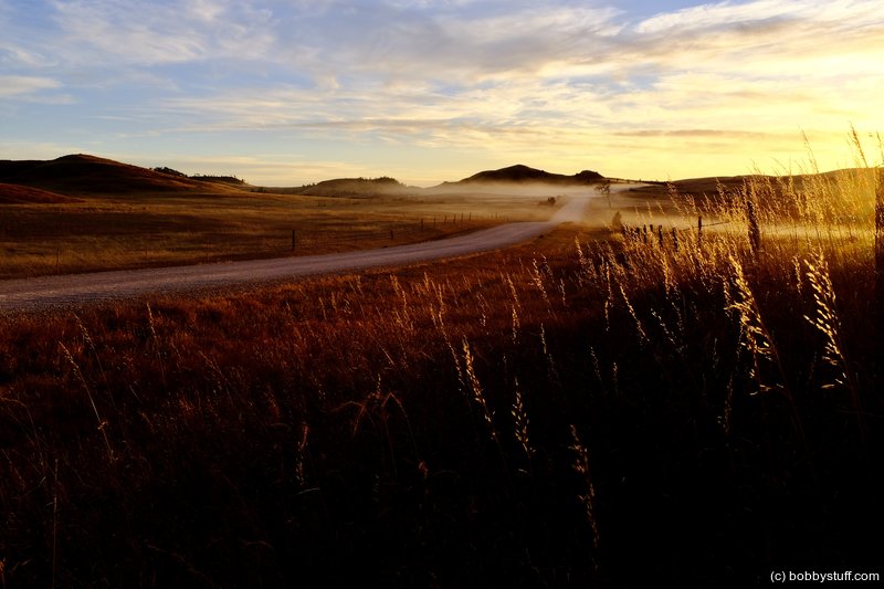
The photo at the top of this blog is one of my favorites. Laurie and I like to see what is around the next curve. We never know what awaits us. After seeing the horses I asked her if she wanted to go back to Hot Spring to look at some shops (we traveled through there to get to the horses) or take a new road back to the campground. She chose the road we had not traveled. It was a great choice.
We were on a well traveled gravel road. The sun was low and golden light was lighting up the landscape. I got a photo I love in the late evening light (top of the page).
I want to put in a plug for Twila at the Custer Crazy Horse Campground. She made us feel very welcome and gave us great off season rates. We decided to stay an extra night. These people are new owners of the campground and they want you to check them out. If you are in the area give them a try. We will certainly stay with them again. You can view their website
here.
 Mt. Rushmore National Memorial SD
View a list of places like this or a map.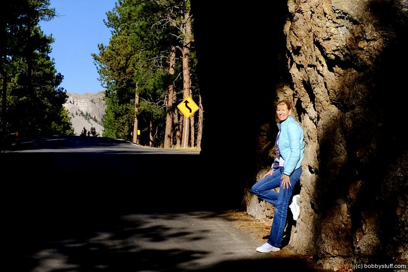
Mount Rushmore area, Black Hills, SD
Laurie
Mount Rushmore area, Black Hills, SD
Laurie
Mount Rushmore area, Black Hills, SD
Bobby
Mount Rushmore area, Black Hills, SD
Bobby, Laurie
Mount Rushmore area, Black Hills, SD
Laurie
Mount Rushmore area, Black Hills, SD
Laurie
Mount Rushmore area, Black Hills, SD
Bobby
Mount Rushmore area, Black Hills, SD
Crazy Horse, Black Hills, SD
Crazy Horse, Black Hills, SD
Crazy Horse, Black Hills, SD
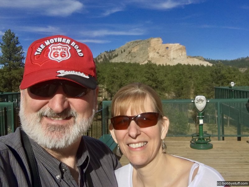
Crazy Horse, Black Hills, SD
Bobby, Laurie
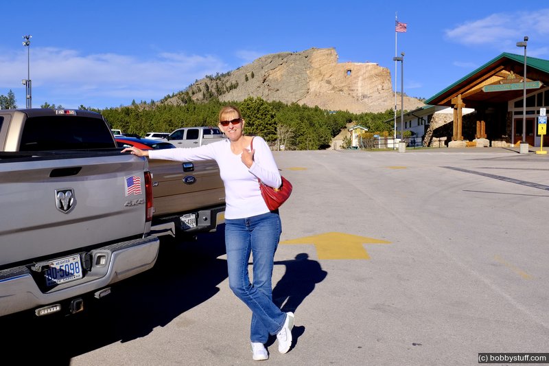
Crazy Horse, Black Hills, SD
Laurie
 Windcross Conservancy, Buffalo Gap SD
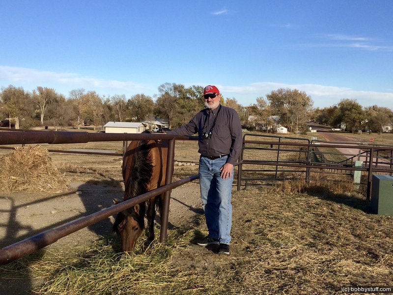
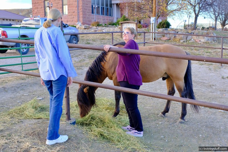
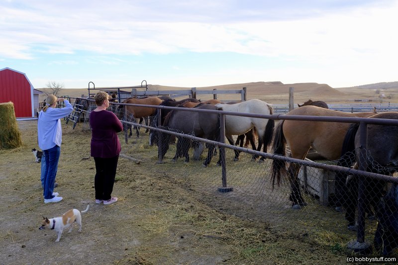
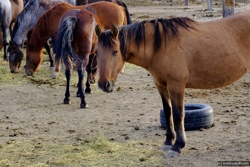
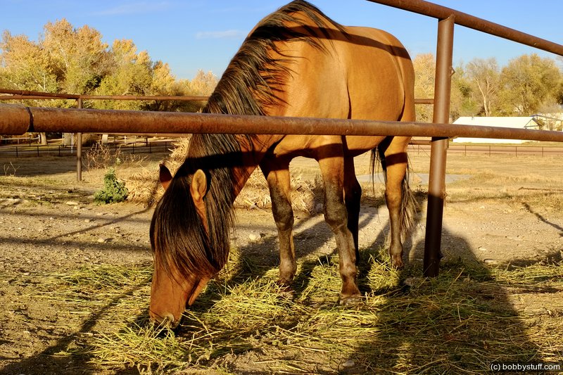
View a list of places like this or a map.Laurie has a thing for horses. Next up was a late day visit to the Windcross Conservancy in Buffalo Gap, SD where they are trying to preserve the Spanish Mustang horse. You can read about them here.
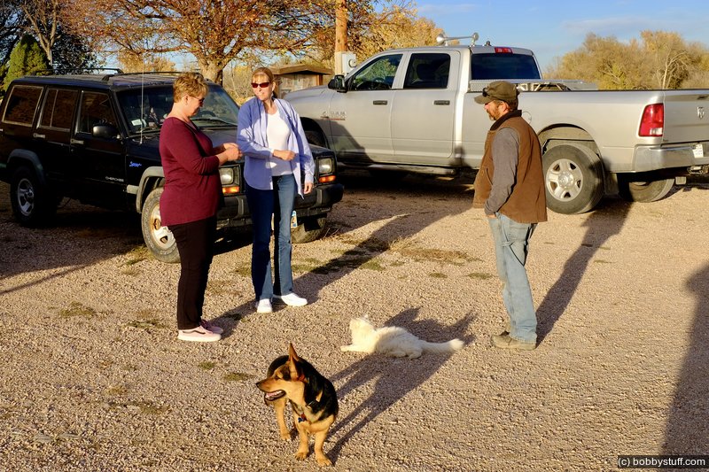
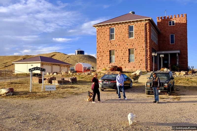
The owners were very patient with us and answered all our stupid questions. They live in a former school building. They joked that they have to call each other via cell phone because the building is so large. It was a very nice way to end a great day.
Wildcross Conservancy Inc. Spanish Mustang Preserve
Bobby
Wildcross Conservancy Inc. Spanish Mustang Preserve
Laurie
Wildcross Conservancy Inc. Spanish Mustang Preserve
Laurie
Wildcross Conservancy Inc. Spanish Mustang Preserve
Wildcross Conservancy Inc. Spanish Mustang Preserve
Laurie
Wildcross Conservancy Inc. Spanish Mustang Preserve
Laurie
Wildcross Conservancy Inc. Spanish Mustang Preserve, South Dakota
South of Custer, SD
South of Custer, SD
 Elevation Changes During the Day
The day started at 5,528 feet and ended at 5,556 feet. The highest altitude was 5,965 feet and the lowest altitude was 3,230 feet.