Day 8, Final Dash to Phoenix
| Miles: | 556 |
| Start Point: | Moriarty, NM |
| Sun Rise: | 6:47 AM MDT |
| Start Weather: | At 6:00 AM MDT the temperature was 36.2 ° with 67% humidity. The conditions were clear with a wind speed of 5.9 MPH and wind gusts of 17.4 MPH. |
| End Point: | Deer Valley, AZ |
| Sun Set: | 6:52 PM MST |
| End Weather: | At 6:00 PM MST the temperature was 76.9 ° with 12% humidity. The conditions were clear with a wind speed of 4.1 MPH and wind gusts of 8.4 MPH. |
Table of Contents
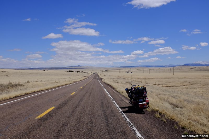
Today marks the furthest west I will go on this trip. I was on the road at 5:50AM. The temperature was 37 ° and I soon ran into light snow. I am meeting my wife at the airport this evening so I had to make some good time.
This was a crazy day. I have never ridden in such strong crosswinds. Several gusts tried to take off my helmet. Then there was the snow, the snow plow and the mud. Then the temperature dropped below 30 ° and the wind chill got brutal. But my heated jacket and using my rain gear as a wind breaker kept me toasty.
Two years ago, the New Mexico Department of Transportation decided to spice up a particularly desolate stretch of Route 66 between Albuquerque and Tijeras by adding grooves in the road that will play music when you drive over them. If you drive the speed limit of 45 mph for the quarter-mile stretch, you can hear "America the Beautiful" play through the vibrations in your car's wheels. (more info)
I got some video riding this section of highway but I won't be able to add it to this blog until I get home. But check out the link above (after reading the rest of this blog).
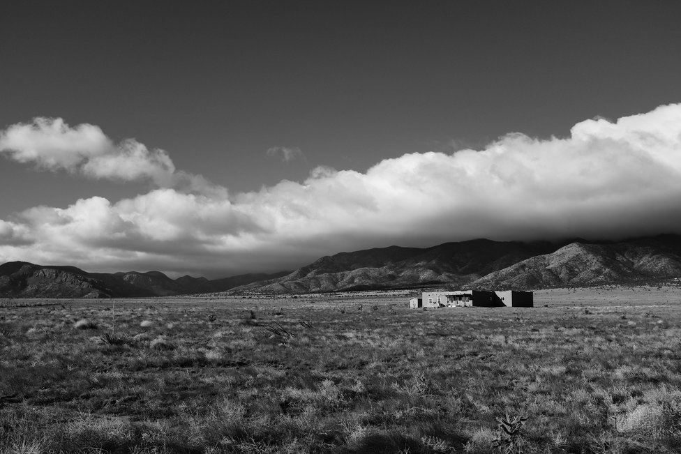
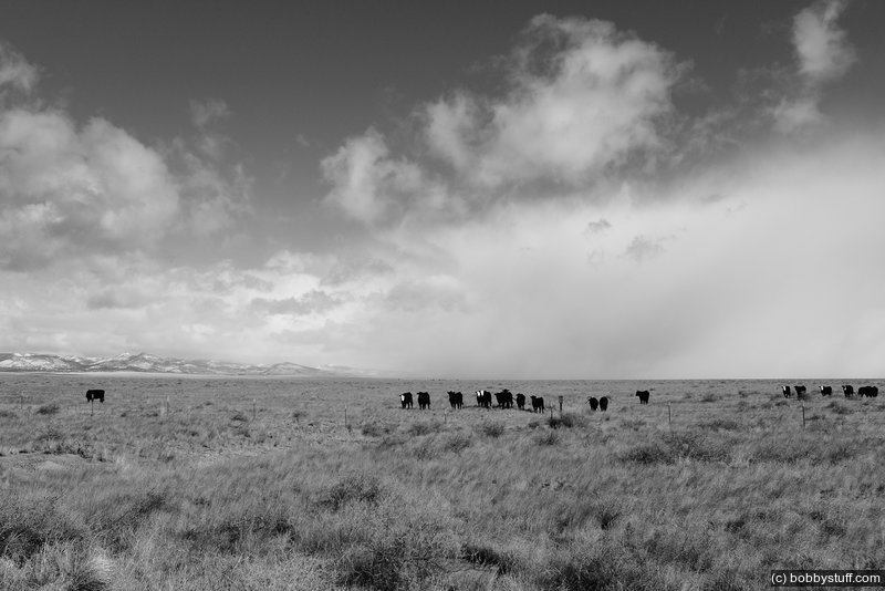
Various Locations on US 60 Going Toward The VLA


 Very Large Array NM
View a list of places like this or a map.roadsideamerica.com
The VLA is a radio telescope with 27 independent antennae, each of which has a dish diameter of 82 feet and weighs 230 Short tons. The antennae are distributed along the three arms of a track, shaped in a 'Y' configuration, each of which measures 13 miles long.
The VLA is present in the 1997 movie Contact, as the location where the alien signal is first detected


Pie Town NM
View a list of places like this or a map.I screwed up and went to the wrong cafe. The people there were very friendly and I had a great plate of nachos. But our trip organizer had called ahead and the pie place said they would have 50 pies waiting. This place only had a couple of half pies. Some other folks came in while I was eating and had lunch. (more info)
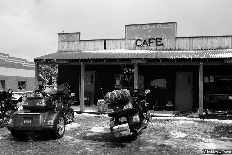


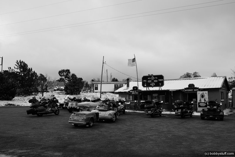
I had come a long way to eat pies at Pie Town so I decided to spread my tourist dollars around. I went to the other place and got some pie. We had some folks eating lunch there also.

I also spoke with a couple of local men, Sherman and Norman

After Pie Town on US 60

 Elevation Changes During the Day
The day started at 6,258 feet and ended at 1,167 feet. The highest altitude was 7,950 feet and the lowest altitude was 1,040 feet.
 Google Map Track Log
| Day 7, More Route 66 Photos |
Topics
TagsConfederate Statues (32),Motorcycle (97),National Parks (9),Odd (1),Route 66 (33),Unemployment (6),Zombies (1)