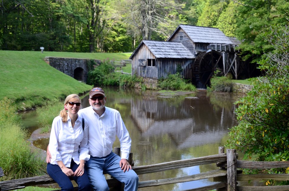
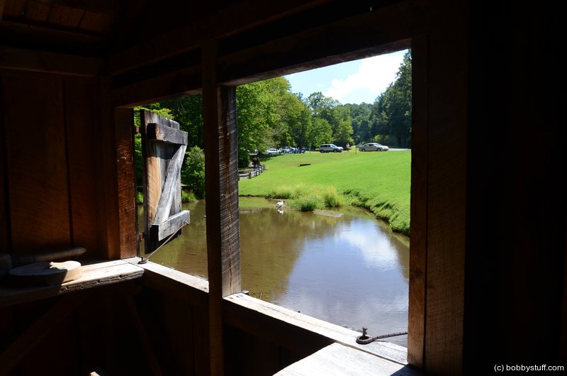
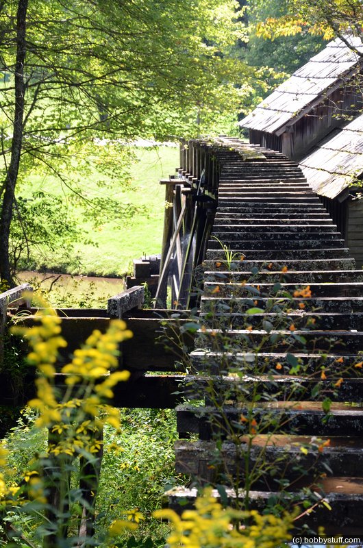
Mabry Mill on the Blue Ridge Parkway Motorcycle Ride
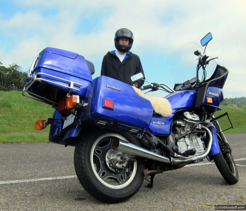
I wanted to determine if I could ride Ruby for more than an hour or two. Bradley wanted to take Bluebell on a long ride also so we coordinated with Greg and Donna for a day trip to the Blue Ridge Parkway. We left at 6:20 AM and returned around 7:30 PM for a total of 371 miles.
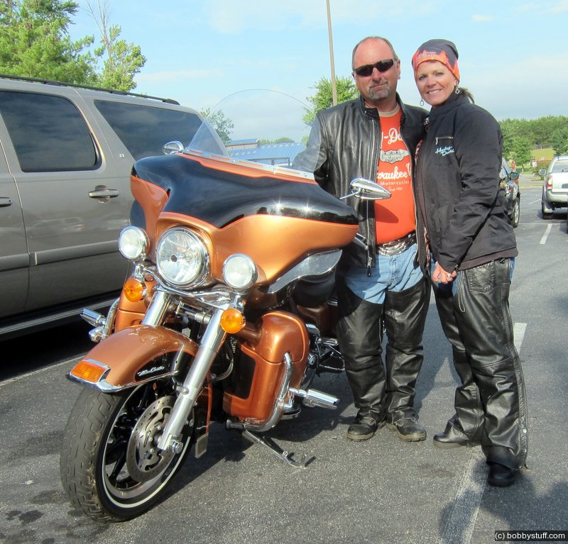
Greg, Donna
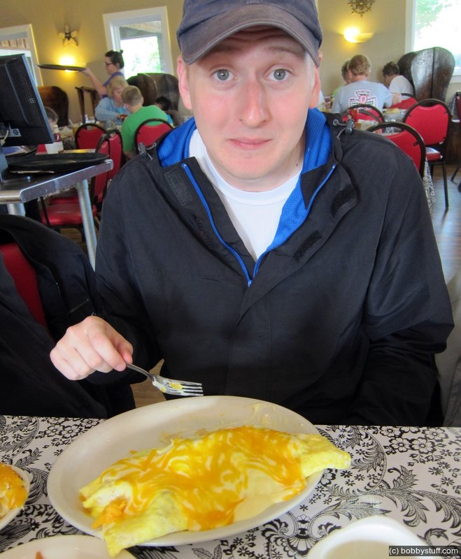
It was a beautiful day. Greg and Donna met us at the Moose Cafe at the Farmer's Market in Greensboro for a hearty breakfast. Soon after breakfast we did a twisty ride up the road to Pilot Mountain and then up old US 52 to Fancy Gap and the Blue Ridge Parkway. By then it was time for another food stop. That seemed to be the theme for the day.
We rode north on the Parkway and by chance noticed the Mayberry Trading Post, built in 1892, off on a side road. This proved to be one of the best stops of the day. They were making pumpkin butter and the store was what you would expect of an old time general store. It was a frozen moment in time.
Standing in the road in front of the store, it was easy to imagine a scene from the 1920's or earlier. This store would have been the Walmart of the day and always a buzz of activity. There might have been a mix of early Ford cars, mules, horses and wagons all loading up with the basics of life.
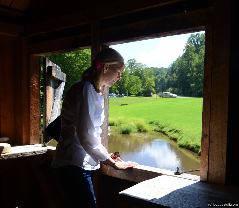
Laurie
Bradley Taylor
Scroll down to see a few highlight photos of the day as well as a GPS tracklog of our trip on a Google map.
Bradley Taylor
 Video
Video
Bradley Taylor
Video
Bradley Taylor
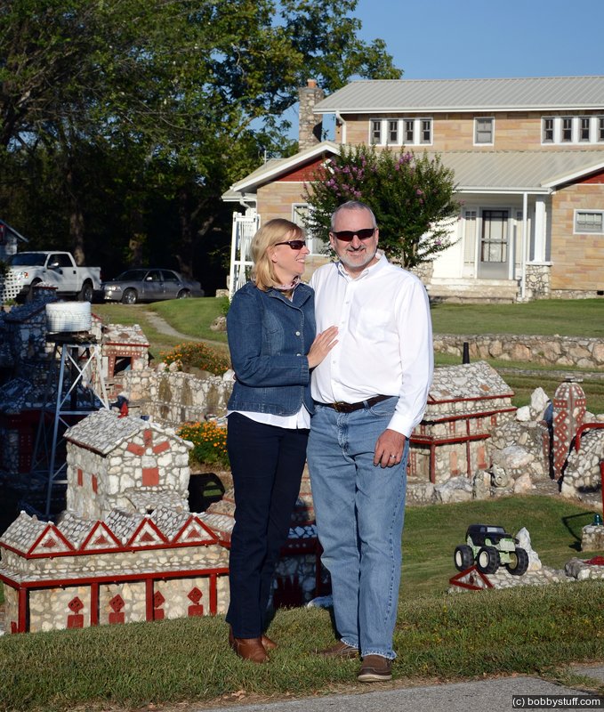
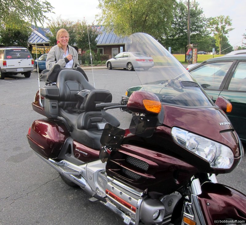
Laurie, Bobby